A recent analysis of the Roman Empire’s road system has upended the familiar saying that all roads lead to Rome. The study, published in Nature Communications and based on the digital atlas Itiner‑e, shows that the empire’s most central transport corridor ran far to the east, linking North Africa with the cities of modern‑day Turkey such as Constantinople (now Istanbul).
Research methodology and key findings
Tom Brughmans, an associate professor at Aarhus University in Denmark, and his co‑authors examined more than 186,000 miles of documented Roman roads. Using parameters like elevation, orientation and slope, they mapped the network’s connectivity and identified the path with the highest centrality. That path, they report, does not pass through Rome at all.
“When we look at all terrestrial transport in the entire Roman Empire, there’s one path that is the most central, and that path doesn’t go through Rome,” Brughmans said. Instead, the route runs along the North African coast, moves east across the Levant, and then follows the Anatolian spine through cities such as Antioch, Ankara and finally Constantinople before turning north toward Milan.
Why the myth persisted
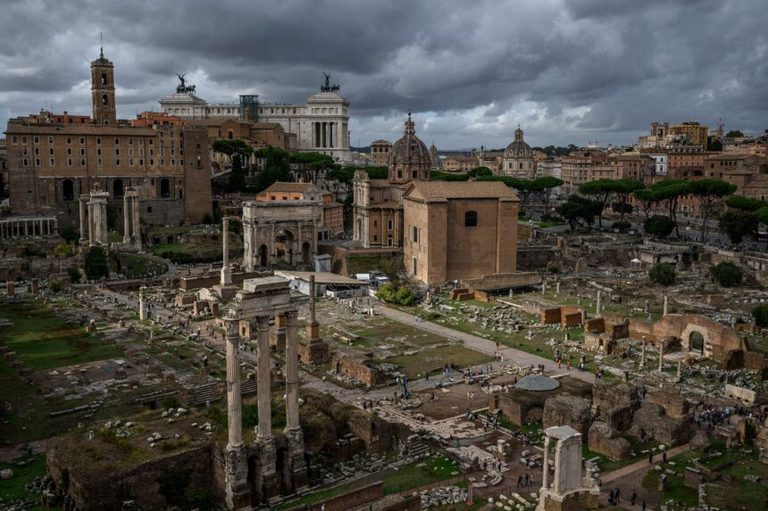
The proverb “all roads lead to Rome” dates to medieval literature, first appearing in 1175 in a poem by French writer Alain de Lille. Its symbolic meaning—different ways to reach a goal—has long been conflated with a literal interpretation of Roman infrastructure. Brughmans notes that Rome’s political and economic prominence, as well as the placement of a golden milestone in the Roman Forum in 20 BC, helped cement the idea.
“Rome was on a nexus of major shipping lanes, and also where the government was, so it was definitely central. The unfortunate bit is the roads bit,” he explained.
Road straightness and modern remnants
The researchers also addressed another common belief: that Roman roads were uniformly straight. Their data confirm that while the Romans built straight sections where terrain allowed—especially in low‑lying Western Europe and North Africa—many routes were “wiggly” where hills, rivers or other obstacles intervened.
Despite these variations, the study found a surprising degree of continuity between ancient and modern routes. Examples include the Via Augusta, which still parallels a modern highway from Cádiz in Spain to the Pyrenees, and the Appian Way, where original volcanic stones remain visible to walkers today.
Implications and future work
Sarah E. Bond, an associate professor of history at the University of Iowa, said the improved reconstruction will help scholars better understand trade, disease spread and cultural exchange in the ancient world.
Brughmans’ team plans to expand the model by adding river and sea connections, further refining our picture of how the empire moved people and goods across three continents.
While the findings do not rewrite the symbolic power of Rome, they provide a data‑driven correction to a centuries‑old myth, reminding us that history, like any field of study, benefits from rigorous analysis and modern technology.
Original reporting: KTVZ (Central Oregon) — read the source article.