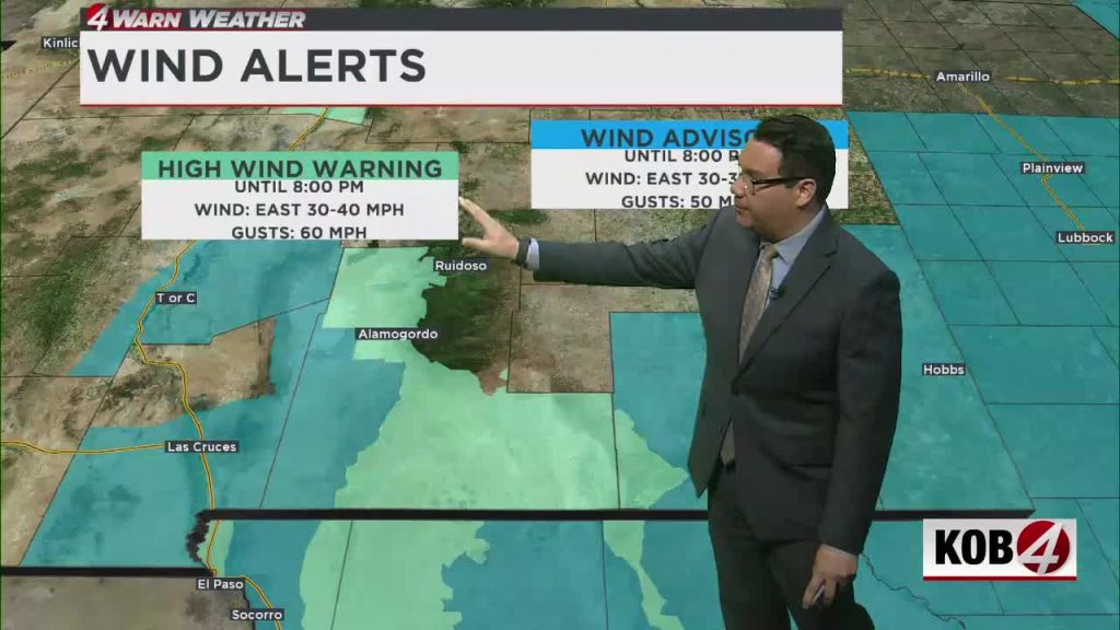
ALBUQUERQUE, N.M. — Blustery conditions should ease through the night, but a push of colder air will drive lows close to the freezing mark across central and eastern New Mexico.
Some locations will remain breezy Friday night as temperatures drop quickly. Expect near-freezing readings across the central and eastern portions of the state.
Saturday morning will feature lingering cloud cover along and east of the central mountain chain. Skies are forecast to clear gradually in the afternoon as winds shift to the southwest and temperatures begin to moderate.
Isolated virga showers may form over western New Mexico on Saturday, and those brief showers could produce short-lived gusty winds.
What comes next?
Thicker clouds Saturday night should keep overnight lows a bit milder. On Sunday, moisture levels will increase slightly across New Mexico, with a few isolated showers or thunderstorms possible mainly in the southwest while most areas remain dry.
Sunday’s highs are expected to return to roughly 10 to 20 degrees above normal.