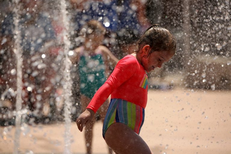
Record-breaking heat blasted central and western Wyoming on Sunday, pushing temperatures up to 110 degrees and prompting warnings through Tuesday evening.
Heat Wave Details
The National Weather Service extended an extreme heat warning until 9 p.m. Tuesday as a high-pressure ridge settled over the area. Temperatures ran 10–15 degrees above normal for this time of year.
Readings at automated weather stations at airports around the state at 6 p.m. showed temperatures ranging from 110 degrees in Worland to 88 degrees at Lake Yellowstone. Cowley was 109 degrees, while Hot Springs County and Powell were 106. Buffalo hit 105, Riverton 104 and Casper 103. Lander also topped the list of triple-digit sites with a temp of 102, matching its historical record originally set in 1891.
The heat combined with low humidity and high winds to create dangerous fire conditions. Humidity levels fell to as low as 4% in some areas. Southeast winds were between 15 and 25 mph, with gusts reaching 35 mph.
A red flag warning remains in effect until 10 p.m. today for multiple counties, including Fremont, Natrona and Big Horn. The NWS warned the weather combination could cause erratic fire behavior.
Meteorologists expect the intense heat to persist through Monday and Tuesday. Temperatures below 6,000 feet will range between 100 and 110 degrees during the day.
A cooling trend will begin Wednesday as moisture moves into the region from the south. The shift brings a chance of afternoon thunderstorms and localized heavy rainfall through the weekend.
Original reporting: Oil City News (Casper WY) — read the source article.