KOCO 5 meteorologist Jonathan Conder reports that Tuesday will open with showers and scattered thunderstorms across parts of Oklahoma before a cooler, drier air mass pushes in later in the day. The change will be felt from the Oklahoma City metro through central and northern counties, with timing and intensity varying by neighborhood. This piece breaks down timing, impacts, and sensible steps residents can take as conditions shift.
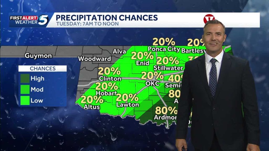
The morning commute is the first thing likely to be affected, with pockets of steady rain and occasional downpours possible during the pre-dawn to midmorning hours. Road surfaces will be slick, visibility will drop at times, and drivers should allow extra time and reduce speed when rainfall is steady. Localized ponding is possible in low-lying stretches and areas with poor drainage.
A frontal boundary sliding through the state is the main player behind the showers and storms, with cooler air following in its wake and cutting humidity levels by the afternoon. That frontal passage is expected to be relatively sharp, meaning temperatures could fall quickly once the axis of the front moves through. Expect a noticeable difference between midday highs and evening readings.
Severe weather does not look widespread, but isolated stronger storms could produce gusty winds and brief heavy rain where instability is higher. Storms will be more scattered than organized, so impacts will be uneven across counties. Keep an eye on short-term alerts and be ready to shelter if conditions spin up nearby.
Rain totals should generally range from a few tenths up to an inch in the heaviest bands, with the highest totals tied to any storm that locks over a neighborhood for a stretch. Most spots will see enough moisture to freshen lawns and reduce fall fire risk without causing major flooding. Still, urban areas and small streams can react quickly to bursts of heavy rain, so caution is warranted.
Winds will shift with the front, coming from the south ahead of the boundary and swinging to the northwest afterward, which helps pull in that cooler air. Gusts could make the afternoon feel even brisker than thermometer readings suggest, especially across open plains and elevated spots. Loose outdoor items should be secured if gusts pick up during the transition.
By late afternoon and evening, skies should trend toward clearing as the drier air filters in, leaving a crisp feel heading into Tuesday night. Temperatures will drop off, yielding a cooler night than recent ones and a refreshing start to Wednesday morning. Layering is a good idea for anyone out after sundown because the change will be noticeable.
For anyone planning outdoor activities later in the week, the pattern after Tuesday looks calmer and more settled, with lower humidity and generally dry conditions expected for at least a couple of days. That brief cool period will be a nice break from muggy stretches and could be a good window for yard work or weekend prep. Monitor updates if you have travel plans, but substantial storms are not forecast in the immediate follow-up period.
Jonathan Conder and the KOCO 5 team emphasize staying weather-aware during the morning hours when conditions are most dynamic, checking windshield wipers and tires before heading out, and keeping a quick weather app or local radio on for short-notice changes. Small preparations go a long way in these transitional setups. If you live in a flood-prone spot, have a plan to move vehicles to higher ground if heavy cells pass over.
Overall, Tuesday brings a classic autumn-like shift: morning showers and storms give way to a notable cool down and clearer skies. Expect varying impacts across neighborhoods, plan for slick roads during the morning commute, and enjoy the crisp air once the front clears out. Keep following local updates for any last-minute adjustments to timing or pocketed severe threats.


