Showers are expected to linger Tuesday morning across Oklahoma after a line of severe storms swept through the state Monday and pushed on into the early morning hours. Residents from Oklahoma City to Tulsa saw heavy downpours and gusty winds, and local authorities kept an eye on isolated flooding and spotty damage. Meteorologists say the main wave has passed, but pockets of rain and unsettled skies will hang around into the daytime hours.
The storms that moved through on Monday packed a punch in places, bringing brief but intense rainfall and wind gusts that knocked down limbs and left streets slick. While the most dangerous phase appears to be behind us, shower activity hasn’t completely shut off, and scattered cells will keep producing heavy rain. That means anything from slow commutes to temporary flash flooding in low-lying spots is still on the table.
Across central and eastern portions of the state, radar showed lingering echoes into the overnight, and those echoes translated into drippy, annoying showers for many towns early Tuesday. Drivers should expect reduced visibility at times, especially where rain bands are heavier. Morning road conditions can change fast after a squall line, so extra caution is a smart choice if you’re heading out.
Power issues were reported in some neighborhoods where wind took down limbs or pushed trees into lines, though the outages were mostly brief and localized. Utility crews have been moving quickly to restore service and clear debris where roads are passable. If you see a downed wire, stay far away and report it to local authorities rather than trying to handle it yourself.
Flood-prone areas and spots under bridges or along creeks deserve attention after heavier rain, since the ground can stay saturated and runoff builds up quickly. Small streams and culverts can rise suddenly with repeated bursts of rain, catching drivers off guard. Never try to drive through standing water; turn around and find another route whenever possible.
For commuters, the morning rush could feel slower than usual where showers persist, with brake lights and cautious drivers creating backups on interstates and arterials. Public transit riders should expect possible delays if bus routes encounter standing water or blocked streets. Employers and schools in higher-risk pockets sometimes adjust schedules or ask folks to take it slow until conditions improve.
Outdoor plans will be a challenge until the showers taper off, with parks, construction sites, and sporting events all vulnerable to soggy interruptions. If you’ve got activities planned, have a backup or be ready to move things indoors at short notice. A waterproof jacket and waterproof boots will be practical accessories for anyone spending time outside this morning.
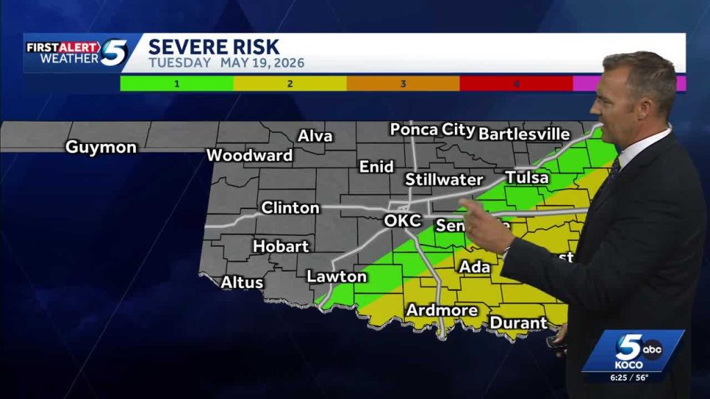
Meteorologists point out that while severe storm warnings have largely expired, the atmosphere remains unsettled, and scattered cells may pop up through the day. That means localized bursts of heavy rain and lightning can still occur even without widespread severe thunderstorm watches. Keep an eye on local alerts and exercise judgment about outdoor travel during any new downpours.
Homeowners should look for signs of water pooling near foundations and make a quick effort to clear gutters if it’s safe to do so; clogged gutters accelerate runoff into vulnerable places. If you notice basement seepage or sump pumps running constantly, take steps to protect valuables and contact a professional for persistent issues. Remember that small, preventive actions now can prevent larger headaches later.
City and county crews are out doing damage assessments where trees and branches fell, and work continues to reopen minor roads that were temporarily blocked. Debris removal and drain clearing are priorities to reduce the risk of secondary flooding. Local officials typically post updates through municipal channels, so checking those can be quicker than waiting for media reports.
Farmers and ranchers in parts of the state saw their operations briefly interrupted by intense rain, which can mean anything from muddy access roads to delayed fieldwork. Livestock handlers should double-check pens and drainage to ensure animals stay safe and dry. On the bright side, some areas that needed moisture will benefit from the rainfall if it remains light and manageable without turning into a flood threat.
Simple preparedness actions still pay off: flashlights and spare batteries, charged phones, and a basic emergency kit can smooth out the inconvenience of short outages or road closures. Let friends and family know your travel plans if you must be out, and consider postponing nonessential trips until the showers have moved out. Weather apps and local radio remain good ways to track developing conditions throughout the morning.
As the day progresses, atmospheric conditions should stabilize enough for skies to gradually improve across much of the state, though stubborn clouds could hang on in places that saw the heaviest overnight rain. That means scattered showers may end by midday in some spots while others hold onto drizzle and clouds into the afternoon. Keep flexible plans and keep checking conditions if you need to be outside.
For now, the message is straightforward: the worst of the severe weather appears to be over, but lingering showers and localized impacts are still happening Tuesday morning across Oklahoma. Stay alert, drive carefully on wet roads, and respect water on the pavement — it’s the most reliable way to come through a messy, wet stretch without added trouble. Officials will continue to monitor conditions and post updates as needed, so tune into those channels if you need the latest local guidance.


