Scattered showers and storms were moving across central and south Alabama at midday Wednesday. Wednesday afternoon looks partly to mostly cloudy, while scattered shower and storm activity moves southwest to northeast. With some sunshine, temperatures may warm into the mid and upper 80s.
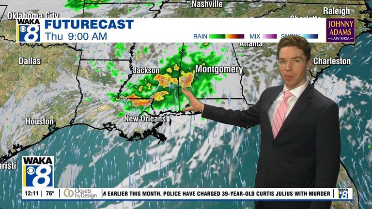
Tropical storm Arthur formed near the central Texas coast Wednesday morning. It only remains a tropical cyclone for a short time, as it will quickly weaken once it moves back over land Wednesday night. The remnant circulations brings heavy rain across east Louisiana, south Mississippi, and ultimately central and south Alabama through Thursday. Several inches of rain (maybe half a foot in some locations) could lead to flooding of at least low-lying areas.
Flood Watch and Severe Risk
A flood watch begins Thursday morning for central and south Alabama, and continues through Friday evening. Additionally, a marginal (level 1/5) severe risk covers all of central and south Alabama Thursday. At least a couple tornadoes appear possible within tropical banding features that track across our area Thursday.
Original reporting: Alabama News Network — read the source article.


