Oklahoma faces a stretch of dangerous weather from Sunday into Tuesday, with the worst conditions likely on Monday across the state. I lay out what to watch for, how the hazards tend to behave, and sensible steps residents can take to lower their risk. This covers threats to homes, travel, farms, and local services so people from Tulsa to Oklahoma City can plan ahead.
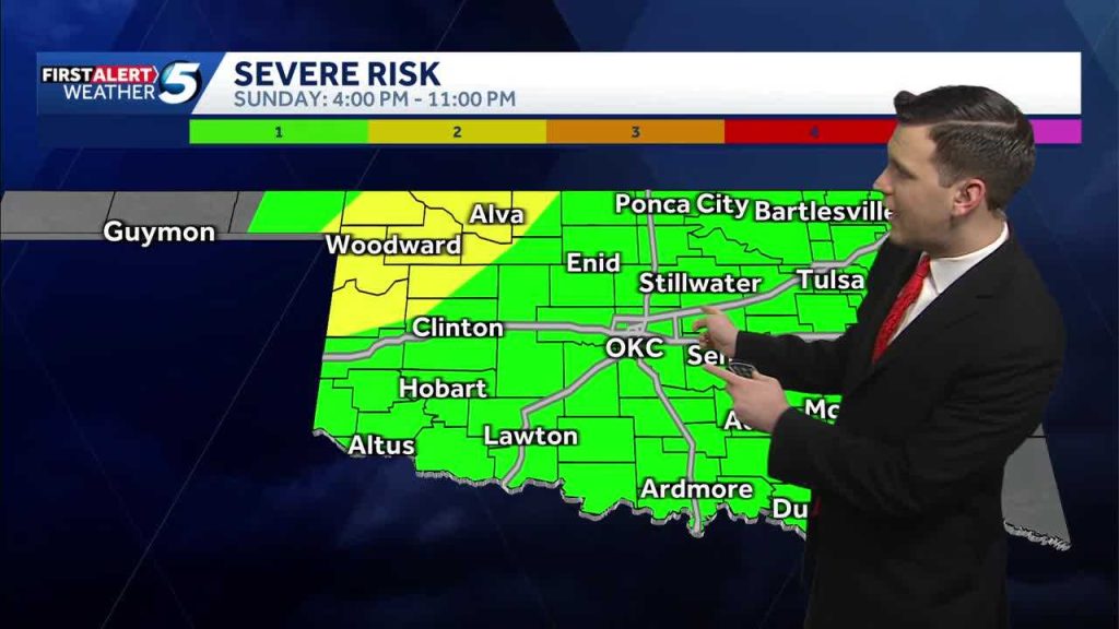
Oklahoma faces severe weather risks Sunday through Tuesday, including potential tornadoes, hail, and strong winds, with the highest threat expected Monday statewide. That line is the core of the alert: multiple severe modes could pop up over a few days, and timing matters. When storms can produce both tornadoes and large hail, conditions usually include strong low-level wind shear and plenty of instability.
The first thing to expect is variability in when storms arrive. Some areas may see squall lines with damaging straight-line winds, while pulses of discrete supercells could spin up tornadoes where the environment is locally favorable. That means a county that looks quiet at dawn can be under a warning by afternoon, and people need to stay aware rather than assume the brief calm will last.
Large hail and powerful winds are the most common causes of damage during these kinds of outbreaks. Hail the size of quarters or golf balls can shatter skylights, dent vehicles, and ruin crops in minutes. Winds above hurricane-force gusts can bring down power lines, blow out windows, and scatter debris that becomes dangerous projectiles.
Tornadoes remain the scariest, because they can appear suddenly and destroy structures in a narrow corridor. Safe shelter is critical: interior rooms without windows, basements, or purpose-built storm shelters offer the best protection. If a storm siren sounds or a warning alert arrives on your phone, move quickly and avoid trying to drive away from the path of the storm.
Power outages are likely in the wake of severe wind and hail, so treating communications and light as essentials is smart. Keep phone batteries charged, have a battery-powered radio or hand-crank device, and store water and nonperishable food for at least 72 hours. If you rely on medical equipment that needs electricity, make a plan now for backup power or alternative arrangements.
Travelers should expect hazardous driving conditions and sudden closures. High winds and hail reduce visibility and can make highways littered with debris, while flooded roadways hide hazards under the water. If you must be on the road, keep extra blankets, a flashlight, and a full tank of gas, and avoid low-water crossings whenever possible.
For farmers and ranchers, heavy winds and large hail can flatten fields and damage livestock structures within minutes. Securing loose equipment, moving animals to sheltered areas, and having contingency plans for feed and water can reduce losses. Insurance coverage and documentation of damage after an event are also important steps for recovery.
Local officials and emergency managers will coordinate watches, warnings, and shelter options; keep tabs on official channels and weather alerts. Spotters and trained observers give ground truth that complements radar, so their reports often trigger the most urgent warnings. Even small towns should confirm where community shelters are and how to get there quickly.
Property preparations are practical and often inexpensive: clear gutters, secure patio furniture, and trim weak tree limbs that could fall on power lines. Vehicles parked under trees or carports risk hail and falling branches, so moving them to sturdier cover helps. Finally, rehearse your family or household plan so everyone knows where to go, who to contact, and what to grab if a warning comes.


