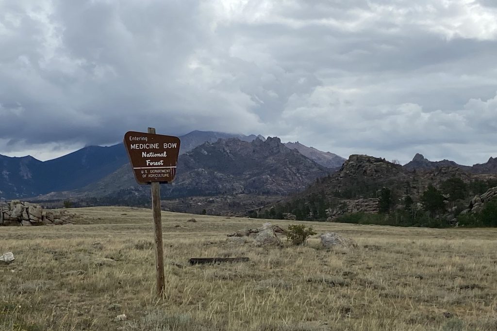
Exploring the vast and beautiful landscapes of Wyoming’s National Forests and Grasslands has become more accessible with the launch of a new app by the USDA. This tool is designed to assist adventurers by providing essential information such as maps, trail conditions, and safety alerts, even in areas where mobile service is limited.
Enhancing Outdoor Adventures
The app is a valuable addition for those who enjoy spontaneous trips into the wild. With the ability to download maps and share your location, it ensures that you are prepared and safe during your adventures. Whether you’re planning a hike, a camping trip, or a scenic drive, the app offers a range of options to suit your interests.
Tom Schultz, Chief of the Forest Service, emphasized the importance of the app, stating, “Due to the sheer size and remote nature of our 165,000 miles of trails and more than 30,000 recreation sites, we know that mobile service can be limited once you reach your destination. We encourage everyone to download the National Forests and Grasslands app – your own pocket-sized Forest Service guide – to check trail conditions, download offline maps, and view safety alerts before your trip.”
Features and Availability
The app is user-friendly and allows you to find nearby trails, campsites, and other recreational areas. It is available for download on both the Apple Store for iOS and Google Play for Android, making it accessible to a wide range of users.
This initiative by the USDA not only supports outdoor enthusiasts but also aligns with the values of family and faith by encouraging safe and informed exploration of God’s creation. By providing reliable tools for outdoor activities, the app promotes individual liberty and the freedom to explore nature responsibly.
Original reporting: K2 Radio (Casper) — read the source article.


