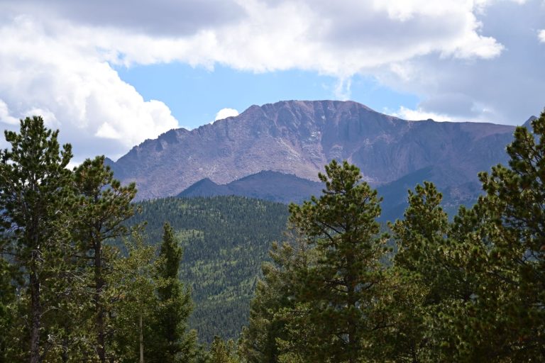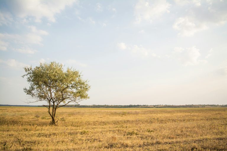
While many Wyoming residents know Gannett Peak as the state’s towering summit, fewer are aware of the opposite extreme – the state’s lowest elevation. According to the Wyoming State Climate Office and Water Resources Data, the lowest point in Wyoming is 3,125 feet above sea level. It is located near the northeast corner of the state, where the Belle Fourche River flows across the border into South Dakota.
Geographic context
The Belle Fourche River originates in the Black Hills of South Dakota, loops into Wyoming, and then returns to South Dakota before joining the Missouri River. The stretch that marks Wyoming’s low point is part of a broad, gently rolling valley that is difficult to access by standard roadways. As a result, the spot is more often noted on maps than visited in person.
Comparison with neighboring states
South Dakota’s own lowest point is not the same location; it lies at Big Stone Lake on the Minnesota border, where the elevation is 968 feet. Wyoming’s low point, at 3,125 feet, is considerably higher than many other states’ minima – for example, the nation’s overall lowest point, Badwater Basin in Death Valley, California, sits 282 feet below sea level.
Why the elevation matters
Understanding the state’s elevation range helps residents, planners, and outdoor enthusiasts appreciate Wyoming’s diverse terrain. The contrast between Gannett Peak’s 13,810 feet and the Belle Fourche River’s 3,125 feet illustrates the state’s dramatic topographic variation, which influences climate, water resources, and wildlife habitats.
Visiting the area
Because the low‑point region is remote, there are no marked visitor facilities or signage indicating the exact spot. Travelers interested in seeing the location should be prepared for back‑country conditions and should respect private land boundaries. Local authorities advise checking landowner permissions before attempting to access the area.
Additional resources
For those who prefer a visual guide, a short video summarizing the lowest points of each state is available online. The Wyoming State Climate Office also provides detailed topographic maps and elevation data for further study.
Whether you are a geography buff, a hiker planning a new route, or simply curious about Wyoming’s natural extremes, knowing the state’s lowest point adds another layer to the appreciation of the Cowboy State’s rugged landscape.
Original reporting: K2 Radio (Casper) — read the source article.