The Cedar River flooded so badly in 2008 that the city bought out dozens of properties along Squaw Creek rather than keep rebuilding them. What grew in their place — almost by accident — is one of the more quietly remarkable stretches of greenway in eastern Iowa.
The trail corridor that runs through the Tanager Place section of Cedar Rapids is not marked with fanfare. There’s no grand trailhead kiosk, no rental stand, no food truck at the entrance. What there is: a paved path that cuts through a recovering flood-plain forest, bordered on one side by the kind of cottonwood-and-willow tangle you’d expect to find an hour outside the city, not a few blocks from a residential neighborhood on the southwest side.
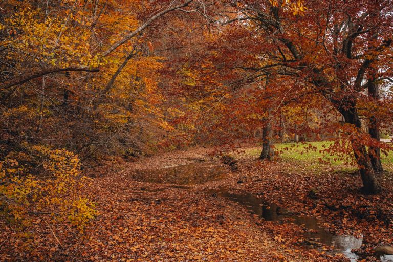
On a weekday morning in early October, the place earns your attention. The canopy hasn’t fully turned yet, but the light comes through the leaves at an angle that makes the whole corridor feel orange-lit. Dog walkers show up around seven. Runners pass in both directions. By nine, it quiets down. The path is smooth enough for a road bike but interesting enough that most people seem to just walk it.
The trail connects to a broader network — you can eventually link up with other segments of the Cedar River greenbelt system if you plan your route — but the Squaw Creek stretch itself is roughly a mile and a half of usable path before you’re threading through neighborhood streets. That’s not a lot on paper. In practice, it’s enough. Most people who come here aren’t training for anything. They’re out because it’s outside.
The surrounding area gives a sense of what it replaced. If you look east from certain points on the trail, you can still see the outlines of old property lots — overgrown, graded flat, now just open grass buffers between the path and the creek. It’s the kind of landscape that only exists because a disaster cleared the way for it. The city didn’t plan this as a destination. It planned it as a solution to a flooding problem, and the trail was what filled the gap.
That origin story gives the place a different texture than a designed park. There are no maintained flower beds, no pavilion with picnic tables, no disc golf course. Just the path, the trees, the creek running alongside it, and whatever birds happen to be moving through that morning. In warbler season — roughly late April through mid-May — birders do show up with binoculars. The corridor acts as a natural funnel for migrating songbirds working their way north along the creek.
Admission is free. Parking is on-street, easy to find along the residential blocks nearby. The path is accessible from several points; a reasonable starting spot is near the Tanager Place campus on the west side. Bring whatever you’d bring to any city trail — water, a decent pair of shoes — and expect nothing you have to pay for or sign up for in advance.
Cedar Rapids has bigger parks and more famous trails. But there’s something honest about this one. It exists because the river made it necessary, and it’s stayed useful because nobody tried too hard to make it into something else.