Storm chances increase tonight as a broad area of unsettled weather moves across much of the country, bringing heavier rain, gusty winds, and pockets of lightning from the Plains through parts of the Midwest and East. Forecasters in several national centers are watching the same system, and travelers in airports and on the roads should be ready for delays and changing conditions. Local emergency managers have issued readiness reminders where flash flooding is possible. This piece walks through what to expect, how to prepare, and what the timing looks like into tomorrow.
Storm chances increase tonight as energy aloft interacts with a moist air mass near the surface, and that simple setup is enough to produce scattered to widespread storms in a few areas. Expect the most intense activity to track along the frontal boundary that will shift eastward after sunset. Where storms organize into lines or clusters, brief heavy rain and gusty winds will be the primary concerns. Lightning and small hail are possible in stronger cells.
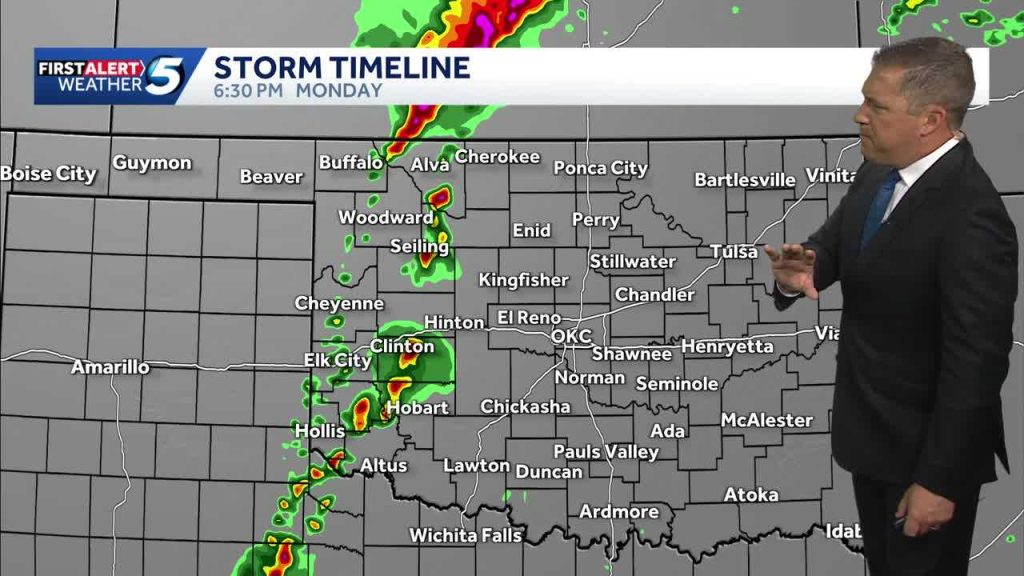
Timing matters: showers and storms will kick off in the late afternoon and strengthen after dark, with the highest odds overnight into the early morning hours. Nighttime storms can be more dangerous because they reduce visibility and make roads slick by the time many people are driving home. Airline passengers should plan for possible schedule disruptions at major hubs under the forecast track. If you have early morning travel, check updates before you leave.
Flood risk is higher where ground is already saturated or where storms train over the same corridor for hours. Urban areas and spots near small streams and creeks will see water rise quickly during intense downpours. Turn around, don’t drown remains the best rule: even a few inches of moving water can sweep a vehicle off the road. Simple preparedness—knowing alternate routes and keeping a small emergency kit in your car—reduces stress if you get delayed.
Wind is another element to watch. Gusts accompanying strong convective cells can topple weak trees and blow around unsecured outdoor items. If you must drive in gusty conditions, reduce speed and give large vehicles extra room. At home, bring in patio furniture, trash cans, and anything else that could become a projectile in high winds.
For people relying on outdoor power equipment or living in areas with older infrastructure, power outages are a real possibility when storms pack wind and lightning together. Have flashlights, extra batteries, and a charged phone on hand, and consider a backup power plan for anyone dependent on medical equipment. If the power goes out, unplug sensitive electronics to avoid damage when service is restored.
Weather alerts will likely be issued for specific counties as the situation evolves, so keep a weather radio app or local alert system enabled. Watches and warnings will specify the type of threat—flash flooding, damaging winds, or severe thunderstorm—so reading those details matters. Social media can be fast, but official sources provide the verified guidance you need to act. Share updates with family members and coworkers so everyone has the same plan.
Outdoor events scheduled for tonight should have a contingency plan, and organizers should consider postponing or moving activities indoors if strong storms are expected. Lightning can strike miles from tall cumulonimbus towers, so canceling activities at the first sign of thunder is sensible. For athletic events, follow governing-body rules about how long to wait after the last thunder before resuming. Spectators should know where safe shelter exists at any venue.
In the bigger picture, this round of storms is part of a pattern that can repeat as the jet stream nudges successive disturbances across the country. That means a single night of heavy weather might be followed by more unsettled days, especially where the atmosphere stays moist and unstable. Keep checking forecasts through tomorrow to see whether another round will affect your plans.


