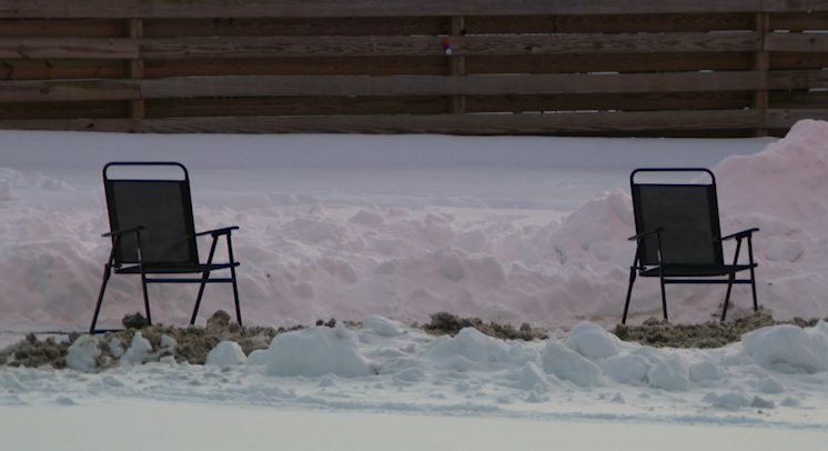
Pittsburgh residents can expect a milder winter this year, according to Action Weather. Chief Meteorologist Mike Harvey explains that a powerful “Super El Niño” is reshaping the jet‑stream pattern, moving storm tracks farther south and reducing the number of systems that reach southwestern Pennsylvania.
How El Niño influences local weather
El Niño develops when tropical Pacific Ocean surface waters become unusually warm. This year’s event is especially strong, with Pacific temperatures at record highs. While there is no exact historical parallel, past strong El Niño winters provide a useful guide.
During El Niño years, the dominant jet stream typically shifts southward and eastward, bringing cooler air to the southern United States and warmer air to the northern states. NOAA’s winter outlook reflects this pattern, favoring above‑average temperatures across much of the northern U.S., including Pennsylvania.
Snowfall outlook for Pittsburgh
The southern‑oriented jet stream creates a more active storm corridor across the southern U.S., which can limit the frequency of weather systems reaching southwestern Pennsylvania. As a result, Action Weather projects fewer snow‑bearing storms for the region.
Historically, six of the last seven El Niño winters produced below‑normal seasonal snowfall for Pittsburgh. The city’s average snowfall during strong El Niño winters since 1950 is about 33 inches, compared with the normal 44‑inch average.
Action Weather’s month‑by‑month predictions are:
- November: 1 inch (about half of normal)
- December: 6 inches (slightly below the normal 7.7 inches)
- January: 11 inches (2 inches below normal)
- February: 9 inches (3.5 inches below normal)
- March: 4 inches
Overall, the season total is expected to be around 31 inches, roughly a foot below the typical seasonal amount.
Potential for occasional big storms
Less snow does not mean the absence of significant events. A single major nor’easter could still deliver a substantial snowfall dump, especially if it tracks far enough inland. Residents should monitor nor’easter forecasts throughout the winter.
Lake‑effect snow from the Great Lakes may also contribute, as the lakes are likely to remain unfrozen for much of the season, allowing occasional lake‑effect bands to affect western Pennsylvania.
What to watch
Key factors that could alter the forecast include the timing of initial snowstorms—often later in strong El Niño years—and any unexpected shifts in the jet stream that might bring more frequent systems to the area.
For now, Pittsburgh can anticipate a warmer, drier winter with reduced snowfall, but vigilance remains important as any late‑season storm could still make a notable impact.
Original reporting: WTAE (Hearst) – local — read the source article.