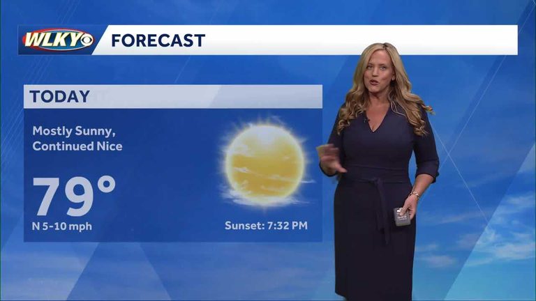
Louisville residents can expect a surprising burst of summer heat this week as October temperatures climb back into the 90-degree range. Meteorologist Susanne Horgan of WLKY highlighted the trend in her latest forecast, noting that the warm spell is likely to continue through the upcoming weekend.
Forecast details
Highs are projected to reach the low‑90s on Thursday and Friday, with overnight lows remaining in the 60s. By Saturday, the heat is expected to ease slightly, with daytime temperatures dropping back into the upper 80s. Horgan emphasized that the rapid rise in temperature is unusual for this time of year, but a strong ridge of high pressure over the central United States is driving the warm air northward.
Rain chances
While the heat dominates the forecast, there is still a modest chance of showers later in the week. Horgan indicated a 20‑30 percent probability of rain on Friday evening, mainly in the form of brief thunderstorms that could bring brief relief but are not expected to significantly lower the overall temperature trend.
Impact on daily life
Residents are encouraged to stay hydrated and limit outdoor activities during the hottest parts of the day, especially seniors and young children who are more vulnerable to heat‑related illnesses. Local parks and recreation areas may see higher attendance as families take advantage of the warm weather before cooler autumn conditions set in.
Looking ahead
After the weekend, the forecast calls for a gradual cooling trend. Temperatures are expected to dip back into the 70s by early next week as a cold front moves in from the north. Horgan reassured viewers that while the brief heat wave may feel like a summer encore, it is a short‑lived event and normal October weather will return shortly.
For the most up‑to‑date information, residents should continue to follow WLKY’s weather updates and consider checking the National Weather Service’s online portal for alerts and detailed hourly forecasts.
Original reporting: WLKY Louisville — read the source article.