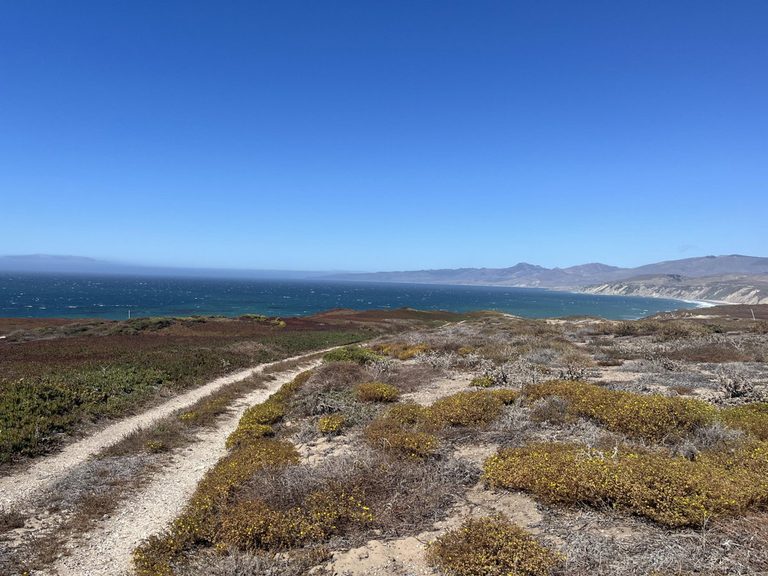
Santa Barbara County – The 24,000‑acre Dangermond Preserve, a coastal sanctuary stretching from Point Conception to Jalama State Beach, is turning to cutting‑edge space technology to combat invasive ice plant. The Nature Conservancy, which purchased the land in 2017 with a $165 million donation from Jack and Laura Dangermond, has teamed with NASA’s Jet Propulsion Laboratory (JPL) to map the property from the air.
High‑tech eyes in the sky
Using a plane equipped with hyperspectral sensors, JPL captured detailed images of the preserve’s terrain. “What’s really great about this partnership with NASA and the Nature Conservancy is the TNC has deep knowledge about what’s happening on the ground,” said Kelly Easterday, Lead Conservation Technology Manager at the preserve.
Scientists then trained a machine‑learning model on the spectral signatures of different plant species. Dr. Kimberley Miner, an Earth Scientist at JPL, explained, “By feeding the model a variety of samples taken on different days and under different lighting, the algorithm learns to identify the unique spectral fingerprint of ice plant on its own.”
Targeting a stubborn invader
Ice plant, originally introduced from South Africa to stabilize railroad hillsides, has become a prolific ground cover along the California coast. It spreads rapidly, out‑competing native flora, altering soil composition and soaking up precious water. “We know now that it quickly invades and becomes a real problem for native species to thrive,” Easterday said.
The preserve currently hosts roughly 1,000 acres of ice plant. The California Coastal Commission has mandated the removal of at least 300 acres. Volunteers are already on the ground pulling the invasive shoots, while the aerial data helps pinpoint new infestations before they expand.
Local impact and broader collaboration
Beyond the immediate removal effort, the project demonstrates how remote sensing can aid land managers across the state. The same machine‑learning approach identified native perennial grass patches at the University of California, Santa Barbara’s Sedgwick Reserve in the Santa Ynez Valley, a study that also involved researchers from Columbia University.
Public access to the Dangermond Preserve remains limited, but the organization offers guided walks and volunteer days that can be booked through its website. Those experiences give community members a chance to see restoration work in action and learn how technology is reshaping conservation.
Looking ahead
Easterday acknowledges the task ahead is “Herculean,” but she is optimistic that the combination of volunteer labor and precise aerial mapping will accelerate progress. “Remote sensing can help find invasive species before they become a bigger issue,” she said, underscoring the preserve’s commitment to protecting the coastal ecosystem for future generations.
The partnership highlights a growing trend of federal research agencies collaborating with local conservation groups to address environmental challenges. By leveraging NASA’s expertise in Earth observation, the Dangermond Preserve is setting a model for other land trusts seeking high‑tech solutions to invasive‑species management.
Original reporting: KEYT (Ventura/Santa Barbara) — read the source article.