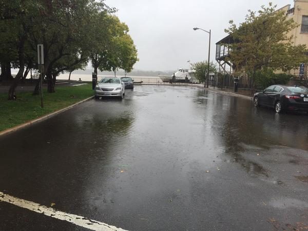
Residents of the Washington, D.C., metropolitan area should expect a brief spell of drizzle and light rain continuing through midday Sunday, according to the National Weather Service. Temperatures will hold steady in the 60s, with high temperatures reaching the mid‑60s.
Sunday afternoon and evening
Rainfall amounts are expected to remain light, and showers will gradually taper from north to south during the afternoon. By evening, the showers should end, leaving the region clearer for the night.
Dry, crisp weather Sunday night onward
Dry conditions will return Sunday night as high pressure builds into the region. Any lingering clouds on Monday morning should give way to afternoon sunshine, though a gusty northwest breeze may make it feel cooler.
The forecast calls for cooler‑than‑average temperatures to persist through Tuesday, with plenty of sunshine, low humidity, and a crisp fall feel. Frost and freezing temperatures are possible west of the Blue Ridge on both Monday and Tuesday nights, especially at higher elevations.
Mid‑week outlook
Pleasant fall weather is expected to continue through mid‑week, with abundant sunshine on Wednesday and a gradual warm‑up in temperatures. The detailed daily outlook is as follows:
- Today (Sunday): Periods of rain. Highs between 63 and 68°F. Winds southeast 5‑10 mph.
- Tonight: Showers ending overnight.
- Monday: Partly to mostly sunny and breezy. Highs near 70°F. Winds northwest 10‑15 mph, gusts to 25 mph.
- Monday night: Patchy frost possible in higher elevations west of Interstate 81.
- Tuesday: Sunny. Highs between 61 and 66°F. Winds north around 5 mph.
- Tuesday night: Patchy frost possible in higher elevations along and west of U.S. 15.
- Wednesday: Mostly sunny. Highs between 65 and 70°F. Winds south 5‑10 mph.
Overall, the coming days will bring a welcome break from the recent rain, offering residents clear skies, cooler temperatures, and the classic crispness of early fall.
Original reporting: Alexandria, VA News – WTOP News — read the source article.