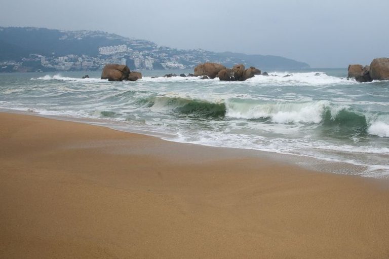
Heavy surf and rain are battering southwestern Mexico as Hurricane Polo, described by the U.S. National Hurricane Center (NHC) as “extremely powerful,” tracks offshore. The storm, with maximum sustained winds near 160 mph (260 kph), is a Category 5 hurricane – the highest level on the Saffir‑Simpson scale – and could strengthen further over the next few days.
Impacts along the coast
The NHC reports that Polo’s outer rainbands are already moving onshore, bringing tropical‑storm‑force winds to the coast of southwestern Mexico. Hurricane‑force winds extend up to 40 miles (65 km) from the center, while tropical‑storm‑force winds reach out 125 miles (205 km).
Rainfall totals of 4‑6 inches (102‑152 mm) are expected across coastal areas of Guerrero state, with isolated maximum amounts up to 8 inches. These rains could trigger life‑threatening flooding and mudslides. Coastal portions of Michoacán, Colima and Jalisco are also forecast to receive heavy rain.
Dangerous surf and rip currents
Swells generated by Polo will affect the southwestern Mexican coastline for the next couple of days. “These swells are likely to cause life‑threatening surf, rip currents, and coastal flooding,” the NHC warned.
Residents and visitors in the affected areas are urged to stay informed of local advisories, avoid the water, and heed any evacuation orders that may be issued.
Future track
Polo is expected to remain offshore of southwestern Mexico on Thursday before moving farther out to sea. The storm is projected to approach the Baja California Peninsula early next week, still at hurricane strength.
Authorities in the impacted Mexican states are monitoring the situation closely and preparing emergency response measures to protect communities from the storm’s hazards.
Original reporting: Appleton, WI News Feed (HLL/CB) — read the source article.