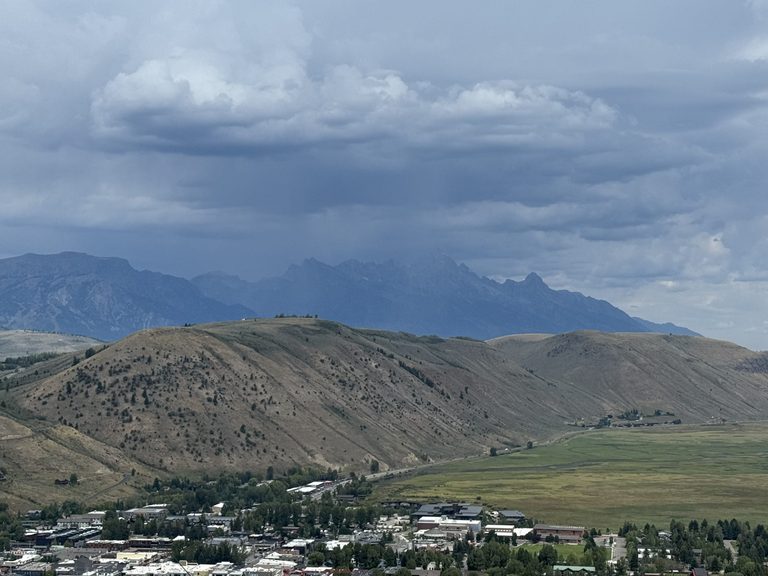
Jackson, WY – The town of Jackson wrapped up August with a notably wet month, recording 3.01 inches of rain – the highest total since December 2023 and well above the seasonal average. While temperatures were 2.3°F above normal, the month also delivered six days in the 90s, three cooler days in the 60s, and a few early‑morning lows in the 30s.
August at a glance
The first ten days of August were dry, but the latter three weeks shifted to a moist southwest flow that pulled monsoonal moisture into the Greater Teton region. Low‑pressure troughs from the West Coast sparked intermittent thunderstorms, delivering 0.8‑1.5 inches of rain above 8,000 ft and 0.3‑1.0 inches in the valleys. The town itself logged 0.6 inches of rain over the weekend of September 1‑3.
Mountain sites also saw strong totals: Jackson Hole Mountain Resort recorded 4‑5 inches, Grand Targhee 3.8 inches, Mt. Baird 5.67 inches, and Togwotee Mountain Lodge 3.56 inches. The extra precipitation helped keep the local fire season quiet despite a weak snowfall winter.
Temperature trends
Average highs for August in Jackson sit at 78°F, but the month’s mean temperature was 2.3°F above the 2010‑2025 norm. Six days reached the 90s, pushing the yearly total to 14 such days – more than triple the typical 4.6 days. Yet the heat was interspersed with cooler stretches, including three days where highs lingered in the 60s and several mornings dipping into the 30s.
First freeze arrives
On Monday morning, the valley experienced its first freeze of the season, with lows of 30°F in town and 28°F at the Jackson Hole Airport. Historically, the first freeze averages in late August, so the timing aligns closely with climatology.
Looking ahead to September
Forecasters expect a mixed early‑September pattern. A shortwave trough and another surge of monsoonal moisture on Tuesday could bring widespread showers before sunrise, followed by intermittent thunderstorms in the afternoon. Locally heavy rain is possible, though confidence in exact amounts remains moderate.
Wednesday and Thursday should clear, offering sunny skies and highs in the 70s. Labor Day weekend may see the pattern turn unsettled again as a Pacific Northwest trough and a ridge east of the Rockies set up a south‑southwest flow that could draw additional tropical moisture into the area.
Overall, September is projected to have highs in the 70s each day, with temperatures staying comfortably cool. The PNW trough is expected to remain far enough west to prevent a major cold snap, keeping the valley’s transition into autumn gentle.
September climate outlook
September traditionally serves as the Tetons’ transition month, offering some of the most pleasant weather of the year. Average highs are 72.8°F and lows 34.8°F. Early‑month highs can still reach the 80s, but by mid‑month they become rare, and 90°F temperatures are now uncommon, though they have occurred as recently as 2022.
Precipitation in September typically exceeds summer totals, supporting the region’s water resources as the season shifts toward cooler nights and occasional freezes.
Original reporting: Buckrail (Jackson WY) — read the source article.