Good question. Most people passing through Springdale on I-49 have no idea one of the longest continuous footpaths in the Midwest starts practically within city limits. The Ozark Highlands Trail runs about 218 miles through the Boston Mountains and the Ozark National Forest, and its northwestern trailhead sits just north of Springdale off Highway 16 near the community of Fayetteville’s fringe. That answer probably raises more questions. Bear with it.
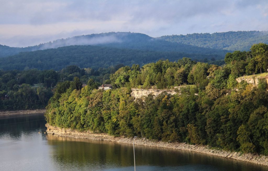
The short version: you don’t have to hike 218 miles. You can go five, turn around, and call it a perfectly reasonable Sunday. The trail enters the national forest quickly — within the first mile you’re into hardwood ridgeline with enough elevation change to remind your calves you exist. The canopy here is dense in summer, which matters in Arkansas August. In October, the upper trail sections turn in a way that makes you suddenly understand why people keep showing up in the Ozarks with leaf-peeping intentions they’d previously mocked.
The northern Springdale access isn’t the trail’s most famous stretch. That distinction probably belongs to some photogenic waterfall further east that gets pinned on every regional hiking board. What the northern access offers instead is genuine quiet. Weekends in late spring can still feel empty here in a way that more publicized trails in the region simply don’t manage anymore. The Ozark Highlands Trail Association maintains it — they’re a volunteer organization, which means the condition varies some by season and weather event, but the main corridor is generally well-blazed with white paint marks on trees and in decent shape for boots-on-ground travel.
A day hike of eight to ten miles gets you into some of the better ridge views without requiring an overnight permit or a bear canister. If you do want to camp, dispersed camping is allowed in most of the national forest sections with no fee, just the usual fire-season caveats. Water sources exist — the trail crosses creeks and drainages — but treat everything; this is not a filtered-tap situation.
What to bring: layers even in spring, trekking poles if your knees have opinions, more water than you think, and a downloaded offline map. Cell service disappears within the first couple of miles and stays gone. The Ozark Highlands Trail Association publishes a series of paper guidebooks ($15 or so each) that are worth owning if you’re planning anything longer than a casual out-and-back. They’re more useful than most apps in the field.
Cost to access: nothing. Parking at the northern trailhead is a gravel pullout — it fits maybe eight vehicles before things get creative. Get there before nine on weekends if you want an easy spot. Trail running is popular on the flatter western sections; mountain bikes are not permitted on the OHT proper, which keeps the tread in better condition than it might otherwise be.
This is not a paved loop with a nice restroom at the end. It is a backcountry footpath through actual national forest, and it behaves accordingly. That’s the whole point. Springdale has plenty of manicured parks and rec facilities — this is the alternative for when you want the woods to feel like the woods rather than a wellness amenity.