Residents of Central and Southern New York should prepare for continued cold weather and scattered precipitation through the upcoming weekend. After a southern storm system delivered rain and snow to higher elevations in Otsego and Chenango counties, the forecast remains unsettled.
Temperature and Wind Chill
Highs will stay well below freezing, with wind chills pushing temperatures even lower. Expect daytime readings in the teens and overnight lows dipping into the single digits, especially in areas above 1,500 feet.
Precipitation Chances
Precipitation will be likely throughout the weekend, though it will not be continuous rain or snow. The pattern will feature brief bursts of flurries and light rain or wet snow, interspersed with periods of drier air.
Two windows of more steady precipitation are expected:
- Early Saturday, from pre‑dawn through late morning, when rain, snow or graupel showers may become more persistent.
- Late Saturday afternoon through Sunday morning, when another stretch of steadier rain or snow is possible.
Snow Accumulation Differences
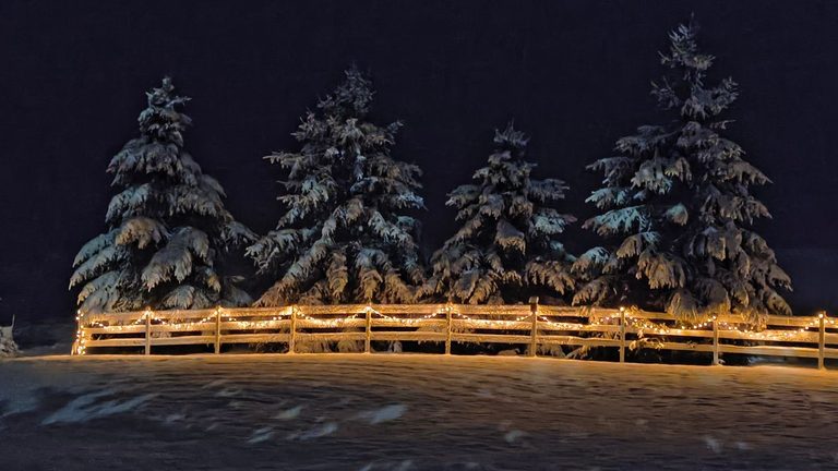
Because temperatures will hover near the freezing point, snow totals will vary widely by location and elevation. Higher elevations are likely to receive the most new snow, particularly where the steadier bands of snow occur. Accumulations on trees, lawns, decks and vehicles could be noticeable, while roadways may see less buildup due to the marginal temperatures.
Specific Forecasts
Friday night through Saturday morning: Light snow showers are expected, with occasional flurries. Total accumulation is expected to be minimal, primarily affecting higher terrain.
Saturday night through Sunday morning: A second round of light to moderate snow or rain may develop, again favoring higher ground. Overall totals remain modest, but residents should be prepared for slick surfaces on exposed areas.
Looking Ahead
Monday will retain a thick cloud cover, though brief intervals of sunshine may break through. After Monday, the weather pattern is projected to improve significantly, bringing clearer skies and milder temperatures for several days into the next week.
For a detailed, location‑specific forecast, viewers are encouraged to watch the local weather segment linked below or consult the National Weather Service’s online portal.
Original reporting: CNY Central WSTM (Sinclair) – local — read the source article.