@keyframes spin {
0% { transform:rotate(0deg); }
100% { transform:rotate(360deg); }
}
Midweek warming trend likely, with strong winds expected by Wednesday
A warming pattern begins Tuesday across much of New Mexico, but stronger winds are expected to develop by Wednesday afternoon. Forecasts indicate gusts of 30 to 50 mph are likely in central and northern parts of the state, with the highest winds concentrated in the far north.
Monday night should be partly cloudy with lingering moisture and relatively mild overnight temperatures. Lows are expected to be about the same as Monday morning or a bit warmer in most locations.
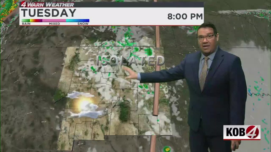
A ridge of high pressure moves in on Tuesday, bringing warmer temperatures and drier air for many areas. Most locations will remain calm, though a few isolated, high-based showers could form over the northern mountains; any brief rain would occur with a light southwest breeze and partly cloudy skies.
A stronger weather system approaches from the west on Wednesday, and winds will pick up through the day statewide. By afternoon, sustained increases in wind speed are likely, making 30 to 50 mph gusts a common occurrence across central and northern New Mexico.
Gusty conditions are expected to continue into Wednesday night, especially along the east slopes of the Sangre de Cristo Mountains. Residents should secure loose outdoor items and drivers—particularly those in high-profile vehicles—should be prepared for the potential of difficult driving conditions.