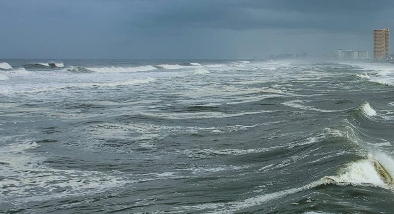
Tropical Storm Bertha made a second landfall near the Texas-Louisiana border at 2:00 p.m. EDT Thursday, bringing heavy rain, gusty winds, and coastal flooding to the western Gulf Coast.
Storm Impact
The landfall came less than 24 hours after the storm first reached land at St. Bernard Parish in southeastern Louisiana on Wednesday. At the time of its second landfall, Bertha maintained maximum sustained winds of 45 mph.
AccuWeather Lead Hurricane Expert Alex DaSilva reported that the storm’s main impact will be heavy rainfall along the Gulf Coast stretching from southern Louisiana to eastern Texas. Coastal areas in Texas are expected to receive 2 to 4 inches of rain, with higher amounts in localized spots.
Rainfall may also move inland toward central and southern Texas, including the Texas Hill Country, where forecasts estimate 1 to 2 inches of rain.
Locally gusty winds could knock down trees and power lines, while storm surge and dangerous surf threaten coastal areas. Because of the combined impacts, Bertha is rated less than one on the AccuWeather RealImpact Scale for Hurricanes in both the United States and Mexico.
The storm is expected to preserve tropical-storm strength into Thursday night.
Environmental Impact
Beyond rainfall and wind threats, storm surge and high surf have caused significant loss to sea turtle habitats across the Southeast coast.
The Destin-Fort Walton Beach Sea Turtle Patrol reported that only four out of 22 monitored nests survived the storm surge and beach erosion in their area.
Original reporting: Tampa Free Press — read the source article.