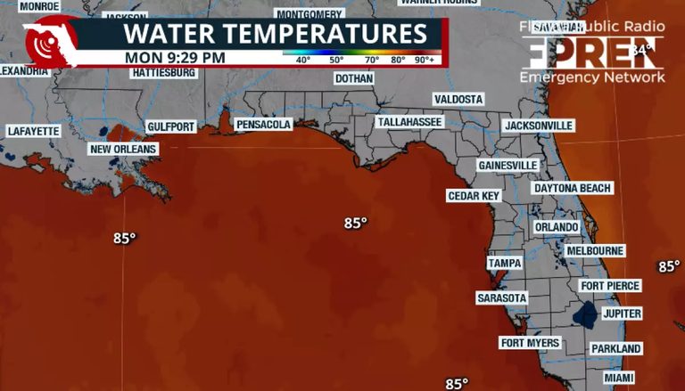
Tropical Storm Bertha has formed in the Gulf of Mexico, with the National Hurricane Center issuing warnings about the storm. As of Tuesday morning, Bertha had maximum sustained winds of 52 mph and was moving west-northwest at 5 mph.
Storm Track and Intensification
Although Bertha has strengthened into a tropical storm, its overall organization remains limited due to dry air and strong wind shear. The National Hurricane Center forecasts a track toward southeastern Louisiana on Wednesday, with the cone of uncertainty still allowing for the center to remain offshore.
Tropical storm watches remain in effect for the Florida Panhandle, with a tropical storm warning westward to Louisiana. A storm surge watch has been extended from the Alabama-Florida border to the mouth of the Mississippi River.
Heavy rainfall will also become an increasing concern, with isolated totals exceeding 6 inches possible. The heaviest rain is expected to shift from the Florida Peninsula into the Florida Panhandle, coastal Alabama and Mississippi, and southern Louisiana as Bertha slowly tracks westward.
Original reporting: Jacksonville Today — read the source article.