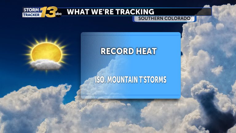
Colorado residents are experiencing a notable heat surge this afternoon. In Colorado Springs, temperatures have risen to match the city’s all‑time daily high, while nearby Pueblo is only a few degrees away from its own record. The warm spell is driven by a strong upper‑level ridge that is expected to dominate the region’s weather pattern through the weekend.
What to expect today
Most of the Colorado Springs metro area is seeing highs in the low 80s, brushing against the daily record. Pueblo’s thermometer is climbing into the high 70s, just shy of its historic peak. The mountains are beginning to see isolated showers, and there is a slight chance that a few of those showers could drift down the I‑25 corridor later this evening, especially north of Colorado Springs.
Tonight and early Wednesday
Tonight’s skies will be partly cloudy, allowing temperatures to hold steady in the 50s well into the early hours of Wednesday. The warm overnight lows are setting the stage for another potential record‑setting night, as the ridge continues to trap heat near the surface.
Wednesday outlook
Wednesday will bring a similar pattern, with daytime highs again climbing into the 80s across much of the Front Range. The ridge will keep temperatures near daily records, though the bar will be set a little higher than today’s readings. Mountain showers and thunderstorms are expected to increase by the afternoon, but the I‑25 corridor and the eastern Plains will remain mostly sunny.
Weekend forecast
Looking ahead to the weekend, the ridge remains the dominant feature, keeping highs in the low 80s for many locations. Rain chances will be limited, with the majority of the region enjoying dry, warm conditions. Residents can plan outdoor activities with confidence, though they should stay hydrated and protect themselves from prolonged sun exposure.
Early next week outlook
By early next week, forecasters are tracking a potent storm system moving into the area. Confidence is growing that cooler temperatures and increased rain chances will arrive, providing a welcome break from the current heat. The system also has the potential to bring significant snowfall to higher elevations, offering a contrast to the warm days experienced at lower elevations.
Safety reminders
With temperatures hovering near record levels, health officials remind residents to stay hydrated, limit outdoor exertion during peak heat hours, and check on vulnerable neighbors, especially the elderly and those with health conditions. The mild nighttime lows may provide some relief, but the overall heat index remains elevated.
Looking ahead
While the current ridge promises continued warmth, the approaching storm system could shift the pattern dramatically. Residents should stay tuned to local forecasts for updates on temperature trends, precipitation chances, and any winter weather impacts at higher elevations.
Original reporting: KRDO (Colorado Springs metro) — read the source article.