The water shows up before anything else. You come down through the scrub oak off Seaview Avenue and suddenly there it is — the Housatonic, wide and slate-gray in winter, almost shimmering come July, moving south toward the Sound with no particular urgency. Most people driving Route 8 above it have no idea you can get this close on foot.
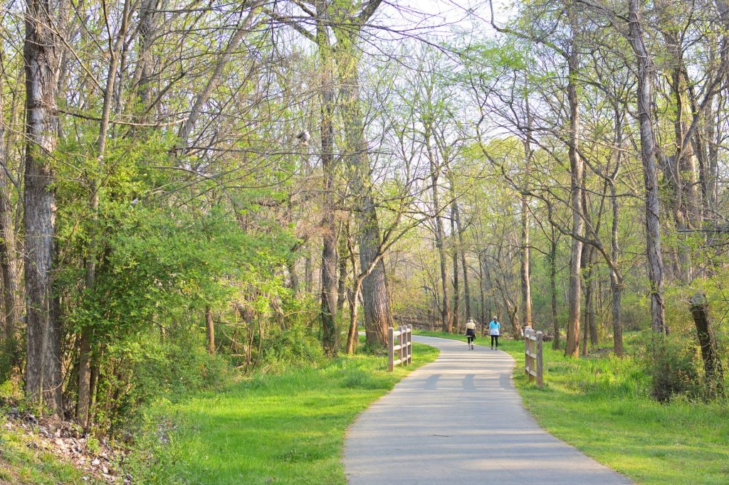
The trails along the Housatonic’s western bank, running through the municipal open space that connects Bridgeport’s northern edge toward the Shelton line, don’t have a tidy brand. You’ll see them called Remington Woods on some maps and left unlabeled on others. That’s part of why they stay uncrowded. The trail network is real, though — several miles of mostly dirt paths threading through second-growth forest, over rocky ledges, and down to small gravel beaches along the river. It’s not manicured, and that’s the point.
Three things make it worth the trip specifically.
First, the geology. The ledge outcroppings throughout these woods are dramatic in a way that surprises people expecting flat Connecticut terrain. Big slabs of gneiss push up through the leaf litter, and in places you can sit on a ten-foot shelf of bare rock and look straight across to the Shelton bluffs. Kids scramble on these without being told to. Bring sturdy shoes; some of the paths are slick when wet.
Second, the river access. There are at least three spots along the lower sections where you can get to the actual water’s edge — not through fencing, not on a formal platform, just gravel and rock and moving water. In warm months people fish here for bass and perch. In late September the foliage on the Shelton side reflects onto the river in a way that looks almost absurd, the kind of thing you stop to photograph even if you’re not a photographer.
Third, the quiet. Bridgeport is a dense, working city, and there aren’t many places inside or just inside its limits where you can be genuinely alone in the woods for an hour. This is one of them. On a weekday morning you might see a retired guy walking a beagle and no one else for forty-five minutes. On weekends, especially fall weekends, a few more families turn up, but it doesn’t feel crowded.
To get there: take Seaview Avenue north off Route 8 (Exit 4 from the south) and look for the unmarked pulloffs near the trailhead area, roughly where the road bends closest to the river. There’s no formal parking lot and no fee — just a few cars lined up on the shoulder. Cell reception thins out in the lower sections, so if you want a map, download one ahead of time through AllTrails or the city’s parks page. The trails aren’t blazed with any consistency, but staying near the river corridor keeps you oriented.
Wear real shoes. Bring water. Go sometime in October when the light off the river is doing something genuinely unusual and you can find a ledge to sit on and not think about much at all.