A heat wave is being replaced by cooler temperatures and rain in the region. Rounds of rain are expected throughout the day, with dreary skies until early afternoon.
Flood Risk Increases
This evening and early Tuesday, the coverage and intensity of the rain will increase, along with the flood risk across the Commonwealth. Ponding on the roads and areas of high water are likely, with accumulations between 1 and 2 inches of rain and some localized totals near 3 inches.
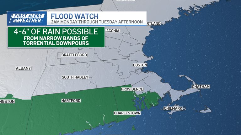
Along the southern New England coast, downpours will be relentless today and into early tomorrow. Buzzards Bay, Connecticut, and Rhode Island are under a flood watch for rain accumulations between 4 and 6 inches.
Clouds and light rain will stay stubborn on Tuesday in the early afternoon, keeping high temperatures in the 60s and low 70s. Highs will jump back into the 90s by Thursday and Friday.
Original reporting: NBC10 Boston — read the source article.