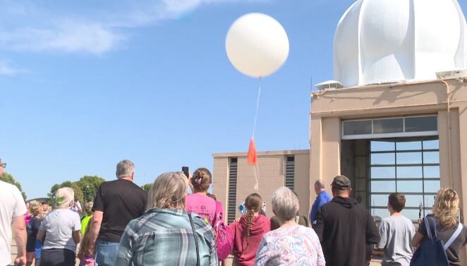
The National Weather Service announced that, as of Nov. 1, every one of its 92 upper‑air sounding sites across the United States is back to a full twice‑daily launch schedule at 00 UTC and 12 UTC (6 p.m. and 6 a.m. CST). After more than 18 months of budget‑driven reductions, the restored launches will immediately improve the data feeding the nation’s weather models.
Why the Balloons Matter
Weather balloons, or radiosondes, ascend to over 100,000 feet, transmitting real‑time measurements of temperature, moisture, pressure and wind. While satellites and radar provide excellent cloud‑top imagery and precipitation tracking, they cannot sample the full vertical profile of the atmosphere. Those profiles are essential for assessing convective instability, capping inversions, jet‑stream positioning and low‑level wind shear—key ingredients for severe‑storm and winter‑weather forecasting.
Impact on Mid‑South Forecasting
With the full network back online, forecasters in the Mid‑South, including the Memphis office, anticipate several concrete benefits:
- Better medium‑range timing: More consistent data will sharpen predictions of frontal arrivals and system evolution three to seven days out.
- Improved severe‑weather assessments: Enhanced model handling of elevated mixed layers, cap strength and low‑level jets will aid tornado and hail outlooks.
- Reduced model “flip‑flopping”: Fewer erratic shifts between consecutive model runs will increase confidence in forecast guidance.
The NWS also retains the ability to issue special 06Z and 18Z soundings ahead of high‑impact events, further bolstering situational awareness during critical weather periods.
What Caused the Cutbacks?
Early in 2025, budget constraints and staffing reductions forced many offices to cut back from the standard twice‑daily cadence to a single launch—or, in some cases, to suspend launches entirely. The reductions hit the Intermountain West and High Plains hardest, creating an atmospheric blind spot in the corridor where many mid‑latitude cyclones form before moving east toward the Mid‑South.
Restoring the full launch schedule eliminates that blind spot, giving models such as the GFS and ECMWF richer, more accurate initial conditions. Over successive forecast cycles, this translates into steadier, more reliable predictions for the communities that rely on timely warnings.
Residents can look forward to more precise forecasts as the severe‑storm season ramps up, helping families and businesses prepare for the weather challenges ahead.
Original reporting: Action News 5 WMC (Gray) — read the source article.