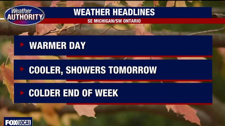
Detroit and the surrounding metro area will experience a short‑lived taste of early spring on Tuesday, with daytime temperatures climbing into the 60s—well above the seasonal average high of 51 degrees. The record high for this date, set in 2020, stands at 77 degrees.
Tuesday: Above‑average warmth
Morning sunshine and scattered clouds will dominate the sky, and humidity will remain low, making the warm temperatures feel comfortable. Residents can expect dry conditions throughout the day, providing a pleasant break from the typical November chill.
Wednesday: Cooler, drier start
Veterans Day will begin with dry weather and cooler temperatures. Winds will shift to the northwest, and overnight lows will dip back into the 30s. Afternoon highs will settle around 53 degrees, closer to the seasonal norm.
Wednesday night into Thursday: Rain arrives
Rain is forecast to move in during the latter part of Wednesday evening, continuing through Thursday and into Friday. Morning lows on both days are expected to approach freezing, creating a brisk start to each day.
Potential snow flurries
The upper atmosphere will be cold enough to support a few snowflakes mixing with the rain on Thursday and Friday. While accumulation is not anticipated, the brief flurries will add a wintry touch to the otherwise rainy period.
Weekend outlook
By Saturday and Sunday, the weather will shift back to dry conditions, though temperatures will remain cold. Highs are projected to stay in the 40s, and overnight lows will remain steady in the 30s.
Overall, Metro Detroit can look forward to a brief, pleasant warm spell on Tuesday before the weather turns cooler, wetter, and even a touch wintry later in the week. Residents planning outdoor activities should take advantage of the Tuesday warmth, while those preparing for the mid‑week rain and possible snow should ensure they have appropriate clothing and travel plans.
Original reporting: Warren | FOX 2 Detroit — read the source article.