Today’s forecast brings a welcome stretch of warm, breezy weather across Iowa. Southwest winds will increase to 10‑20 mph, pushing temperatures into the low 80s under clear skies. Morning lows remain in the 50s, offering a comfortable start to the day.
Mid‑week outlook
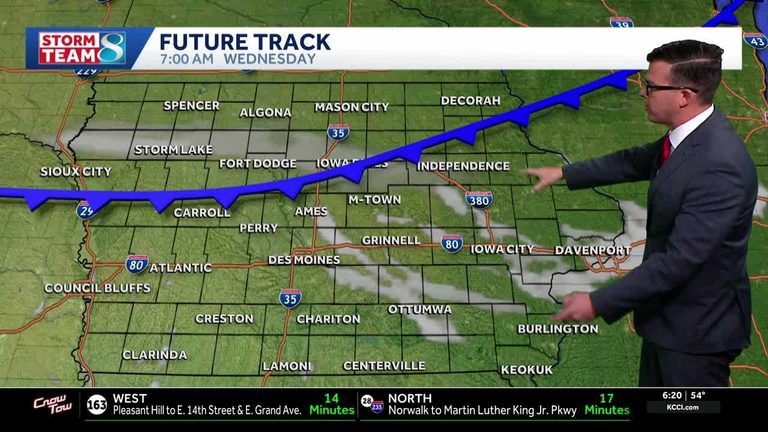
Northwest winds are expected to return overnight and continue into Wednesday, slowing the warm‑up but keeping temperatures above average. Dry conditions will persist through the middle of the week, allowing residents to enjoy outdoor activities without concern for precipitation.
Rain chances later in the week
Friday brings a shift in the pattern as clouds move in, bringing a chance of isolated showers. The rain is not expected to be prolonged, and skies should clear by the evening. Saturday will be windy again, with south winds of 15‑25 mph and gusts over 30 mph, while highs climb back into the 80s.
Looking ahead
Temperatures will begin to trend cooler deeper into next week, returning to more typical autumn values. Residents can continue to monitor conditions through KCCI’s skycam network, which provides live aerial views from more than 25 locations across the state.
Today’s detailed forecast:
- Today: Sunny skies, high 74°F, winds S 5‑10 mph.
- Tonight: Clear skies, low 51°F, winds S 5‑10 mph.
- Tomorrow: Sunny skies, high 78°F, winds SW 10‑20 mph.
- Tomorrow night: Partly cloudy, low 55°F, winds shifting S to NW 10‑15 mph.
For up‑to‑date alerts, radar, and skycam feeds, visit KCCI’s weather page.
Original reporting: KCCI Des Moines — read the source article.