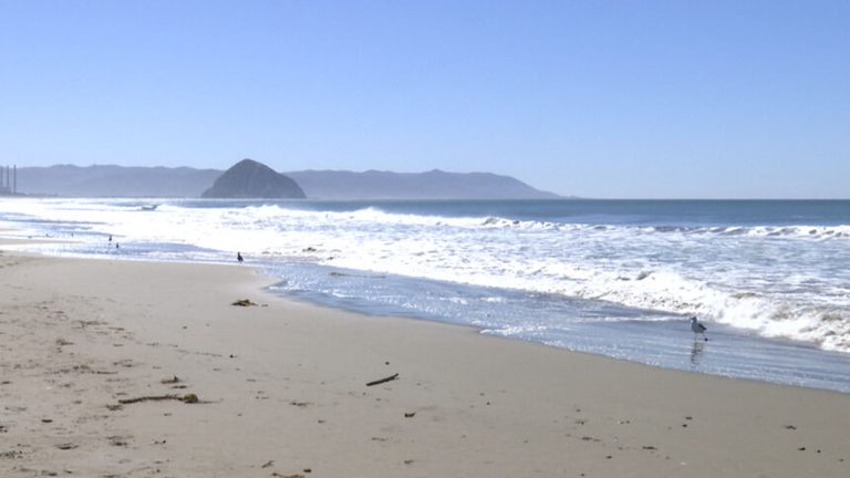
Baywood Park, Calif. – Residents along the Central Coast are seeing noticeably higher water on the San Luis Obispo County North Coast. Measurements at the Port San Luis NOAA tide station recorded tides about 1.3 feet above the forecasted levels, with high tides reaching roughly 7.1 feet compared with the predicted 5.8 feet.
Kelvin wave linked to a powerful El Niño
Long‑time Central Coast meteorologist John Lindsey explained that the surge is tied to a coastal Kelvin wave moving up the California shoreline. Kelvin waves are large, slow‑moving bulges of water that travel beneath the ocean’s surface, raising sea levels as they pass. Lindsey said the wave is traveling at about six miles per hour, covering roughly 150 miles a day, and arrived on the Central Coast last week.
“We are currently in a very strong El Niño event, and this particular condition is strengthening as we speak,” Lindsey said. “There’s about an 83 % chance that this could be the strongest El Niño ever recorded since 1950.”
Potential impacts for coastal communities
While a foot or two of extra water may seem modest, Lindsey warned that the combination of a Kelvin wave, king tides, storm runoff, and high surf could produce significant disruptions. “Worst‑case scenario, if we were in the middle of a king tide and we had a Kelvin wave, storm runoff and storm surge, there’s potential for a lot of damage throughout the county,” he said.
The elevated tides affect not only San Luis Obispo County but also neighboring Santa Barbara and Ventura counties. Beaches, piers, and low‑lying coastal roads could see increased flooding, and residents who walk or bike along the shoreline may encounter higher surf and spray.
What residents can do
Lindsey urged locals to stay informed and take precautionary steps. Monitoring NOAA tide forecasts, avoiding low‑lying areas during high tide, and securing property that could be vulnerable to water damage are recommended actions. Emergency management officials are also reviewing preparedness plans in case a storm coincides with the ongoing Kelvin wave.
“It’s important to be prepared for this upcoming El Niño,” Lindsey emphasized. “Stay aware of tide predictions and heed any local advisories.”
Looking ahead
The Pacific Ocean’s El Niño pattern is expected to remain strong through the winter months, which could sustain higher sea levels and increase the likelihood of coastal flooding. Scientists will continue to monitor the Kelvin wave’s progress and provide updated forecasts to help communities mitigate potential impacts.
Original reporting: KEYT (Ventura/Santa Barbara) — read the source article.