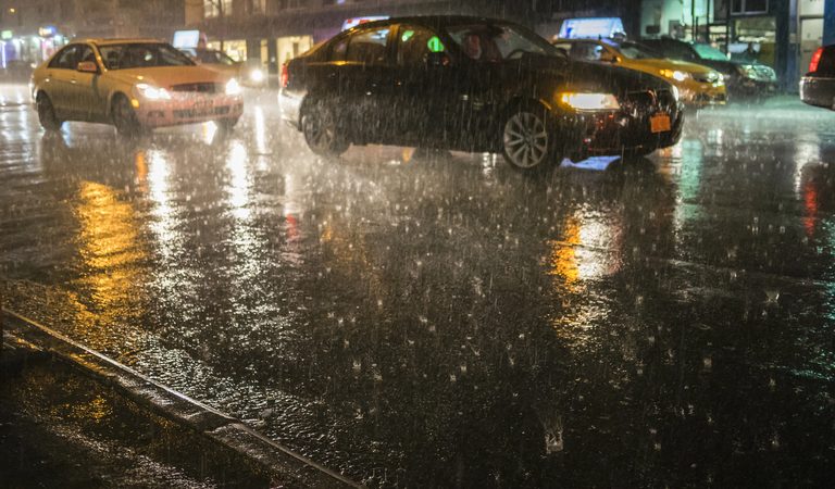
An early‑season nor’easter is gathering strength along the Atlantic shoreline, threatening days of rough weather from the Mid‑Atlantic up through New England. Meteorologists say the system is already producing dangerous surf and rising water levels as it moves offshore.
Coastal impacts expected
Strong northeasterly winds are pushing Atlantic water toward the shore, raising concerns about flooding, beach erosion and hazardous conditions during several high‑tide cycles. Residents of coastal towns are being urged to monitor local flood advisories and avoid low‑lying areas where water could surge.
Heavy rain bands are expected to move inland, bringing downpours that could overwhelm drainage systems, especially in urban neighborhoods that already struggle with storm‑water runoff. Power outages are also possible as gusts may bring down trees and damage power lines.
Why September is unusual
Nor’easters typically peak in the colder months, making a significant September storm noteworthy. Scientists note that warmer Atlantic waters are adding extra moisture to the system, a trend linked to a warming climate. The added heat can fuel heavier rainfall when storms develop, increasing the risk of flash flooding.
While the storm is still developing, forecasters expect wind gusts to reach 50‑60 mph in some coastal pockets, with localized stronger bursts near exposed shorelines. Rainfall totals could exceed 2‑3 inches in the hardest‑hit areas, raising river levels and creating potential flash‑flood scenarios.
Local authorities respond
Emergency management agencies in New York, Connecticut, Rhode Island and Massachusetts have begun pre‑emptive actions, including staging sandbags, opening emergency shelters and issuing public‑safety alerts. Municipal officials are reminding residents to secure outdoor items, clear gutters and have emergency kits ready.
Transportation departments are also preparing for possible disruptions. Coastal roadways and bridges may see temporary closures if flooding or debris becomes a hazard. Travelers are advised to check real‑time traffic updates and consider alternate routes.
Looking ahead
The storm is projected to move northeastward by early next week, gradually weakening as it encounters cooler air masses. Nonetheless, the immediate threat to life and property remains significant, and officials stress the importance of heeding local warnings.
Residents should stay tuned to local news outlets, the National Weather Service and municipal alert systems for the latest information. By taking proactive steps now, communities can mitigate the storm’s impact and protect families and property.
Original reporting: WMAL (Washington DC) — read the source article.