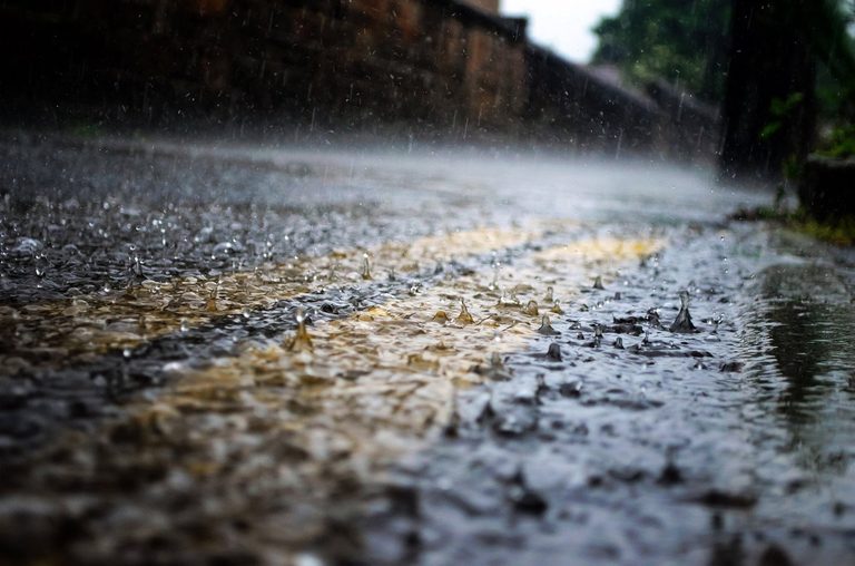
Residents can expect noticeably cooler weather as Friday approaches, with highs generally in the 60s. The Pacific Ocean is sending at least three storm systems toward the area, bringing increasing cloud cover and the chance of light rain.
Friday Forecast
Early Friday morning, light showers are likely to develop across most locations. While the heaviest bursts may produce totals approaching a half‑inch, the majority of spots should see closer to a quarter‑inch of rain. Temperatures will remain comfortably cool, with daytime highs staying in the 60s for most communities.
Weekend Outlook
Cloudy skies will persist through the weekend, accompanied by moderate to strong winds at times. Rain chances will linger into very early Saturday, but Sunday is expected to be dry. The next weather system is projected to arrive early Monday, moving southward throughout the day.
Monday’s system should also bring light rain, with totals remaining fairly modest—well under an inch for the combined Friday and Monday events. A further chance of rain is possible by mid‑week, with another system potentially affecting the area on Wednesday or Thursday. Details will be refined as the system develops.
What to Expect Next Week
Forecasters will continue to monitor the evolving weather patterns and will update the public as more information becomes available. For now, residents should anticipate continued cloud cover and occasional light rain through much of the coming week.
Stay tuned to local weather updates for the latest information on precipitation amounts, wind speeds, and temperature trends. Preparing for cooler temperatures and keeping an eye on potential rain will help ensure a safe and comfortable week ahead.
Original reporting: KEYT (Ventura/Santa Barbara) — read the source article.