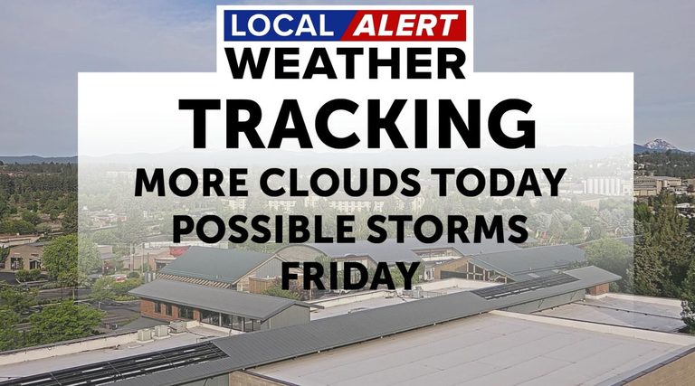
Today, there was a noticeable change to the weather pattern as clouds migrate north from California. The ridge of high pressure over the area will begin to break down and that will allow a low to form in Northern California.
Weekend Forecast
This will spin some high clouds into the region Thursday that will lower and thicken during the day. A stray shower is possible, but not likely that the rain will make it all the way to the surface, evaporating in the dry air below the cloud deck.
Friday will be an interesting day to forecast as the low mentioned above may generate some showers and a few isolated storms in Southern Deschutes and Crook Counties in the afternoon. The Storm Prediction Center has that area under the risk for general thunderstorms, not severe.
Over the weekend the area will be cooler, still above normal in the low 80s, but not as hot as we have been. Summer officially begins on Sunday as the direct rays of the sun will be over the Tropic of Cancer. This is known as the Summer Solstice and is the day with the most amount of sunlight hours.
Original reporting: KTVZ (Central Oregon) — read the source article.


