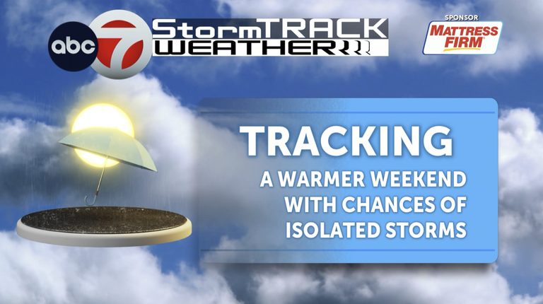
Good afternoon, Borderland residents. As we head into Friday, the forecast promises a pleasant warm day with highs in the mid‑80s, perfect for outdoor activities and the evening high‑school football games that many families look forward to.
Friday and Saturday: Warm and Mostly Clear
Friday’s high will sit in the mid‑80s, with partly cloudy skies that should keep the football fields comfortable for players and spectators alike. Saturday will see similar temperatures, staying in the mid‑to‑upper 80s. While the day will be largely quiet, the National Weather Service notes a slight chance of isolated storms developing later in the afternoon, especially over the western portions of the Borderland.
UTEP Miners vs. Nevada – Game‑Day Weather
The UTEP Miners host Nevada tomorrow at 5 p.m. Expect the temperature to be in the mid‑to‑upper 80s during the game. Isolated storm chances will persist throughout the evening, so fans should consider bringing rain gear just in case.
Weekend Outlook: Tropical Moisture Influence
Both tropical systems Rachel and Simon are feeding moisture into the region. This will bring on‑and‑off showers and thunderstorms over the weekend, with the greatest likelihood of rain on Monday and Tuesday. A high‑pressure ridge that has kept the area warm and dry is expected to shift eastward, opening the door for additional rain chances through early next week.
Next‑Week Trend: Gradual Cooling
Looking ahead to the following week, temperatures will begin to moderate. Early in the week, highs will drop to the low‑mid 80s, and later in the week a more pronounced cooling will bring daily highs down into the 70s, with overnight lows ranging from the 40s to the 50s for several days.
Tropical Storm Simon Development
Simon, which has recently formed, is projected to intensify rapidly into a Category 4 hurricane as it moves across the Pacific. While earlier spaghetti plots suggested the storm’s center might pass near the Borderland, the latest model runs now place the core to the east of the area, reducing the immediate threat of a direct hit but still contributing to the moisture feed.
Residents are encouraged to stay tuned to local weather updates, especially if planning outdoor events or travel. Keep an eye on any sudden changes in the forecast, and be prepared for brief periods of rain or thunderstorms, particularly on Monday and Tuesday.
For the most current information, visit the National Weather Service website or follow KVIA’s weather updates throughout the week.
Original reporting: El Paso News (HLL/CB) — read the source article.