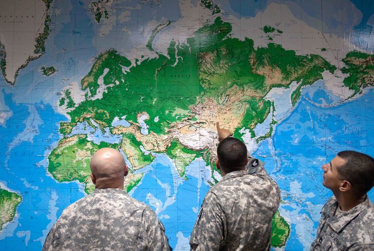
The United Nations General Assembly took a historic step on Friday by adopting a resolution that encourages governments, educators and media outlets worldwide to replace the long‑standing Mercator map with the Equal Earth projection. The new map more accurately reflects the true size of continents, most notably showing Africa as roughly fourteen times larger than Greenland.
Vote and sponsors
The resolution, sponsored by Togo and backed by the African Union, passed with 164 member states voting in favor. The United States was the only country to vote against the measure, while Serbia, Estonia, Georgia, Lithuania, Moldova and Ukraine abstained.
Why the change matters
For centuries the Mercator projection has been the default in classrooms, textbooks and many digital platforms. While useful for navigation, the projection dramatically enlarges landmasses near the poles and shrinks those near the equator, giving a distorted view of the world. Advocates of the Equal Earth projection argue that accurate maps shape how children understand geography, culture and global relationships.
“Maps shape our understanding of the world,” Togo’s Foreign Minister Robert Dussey said before the vote. “They guide education, nourish the imagination, and influence collective perceptions.” African advocacy group Africa No Filter hailed the vote, noting that accurate maps will appear in schools, textbooks, newsrooms, businesses and digital platforms used by billions.
International response
French Foreign Minister Jean‑Noël Barrot praised the resolution on social media, stating, “Changing the map obviously doesn’t change the world. But correcting a representation that distorts it is already an act of truth.” The United Nations clarified that the resolution does not ban the Mercator projection nor mandate a forced replacement; it simply encourages the adoption of the Equal Earth projection wherever feasible.
Technical background
The Mercator projection, created in the 16th century by Flemish cartographer Gerardus Mercator, was designed to aid European navigators at sea. Its distortion of land area is a known limitation, useful only for specific navigation tasks. The Equal Earth projection, introduced in 2018, follows the Earth’s curvature and presents continents in their true proportions, making it a more honest visual tool for education and general reference.
Geography professor Mark Monmonier of Syracuse University emphasized that “outside of that very narrow navigation application, there is no point in using” the Mercator map for everyday purposes.
Implications for U.S. education
Although the United States voted against the resolution, the debate may spark discussion among state education boards and curriculum committees about updating map resources. Parents and faith‑based groups who value accurate, truth‑based education may see this as an opportunity to advocate for textbook revisions that reflect the true scale of Africa and other regions.
As the United Nations continues to promote the Equal Earth projection, schools, libraries and businesses across the nation will likely weigh the benefits of adopting a map that better represents the world’s geography.
Original reporting: Dallas TX News (HLL/CB) — read the source article.