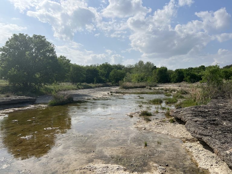
White Settlement celebrated the completion of a $1.8 million flood‑control ditch on Aug. 12, a project that city manager Jeff James said has already stopped flooding on streets that previously saw water damage after heavy rains. The ditch, built by the North Central Texas Council of Governments (NCTCOG) in partnership with the Texas Military Department, captures runoff from Farmers Branch Creek and redirects it away from residential neighborhoods and the nearby Naval Air Station Joint Reserve Base.
Local impact of the new drainage system
During the first week of October, North Texas received nearly four inches of rain after a dry summer. While many areas experienced flash flooding, White Settlement reported no water‑related incidents on the streets that were historically problem spots. James told the Fort Worth Report, “On all the streets that used to experience flooding, we’ve had no flooding events at all. It’s saved us quite a bit.”
The neighborhoods most vulnerable to Farmers Branch Creek – including homes on Bourland Drive, Renfro Drive, McCully Street and Ronald Street – now benefit from the ditch’s ability to capture and convey runoff. The project also supports the military community, which has long struggled with inadequate storm‑water infrastructure in a district that is more than 70 years old.
Why the project matters for the region
White Settlement’s success is part of a broader effort to address flood risk across the rapidly growing North Texas region. The Upper Trinity River Transportation and Stormwater Infrastructure Study, launched by NCTCOG in 2022, evaluates flood hazards in 85 cities along the Trinity River Basin. Planners warn that unchecked development could cost western North Texas $2.3 billion in flood damages over the next 50 years.
The study has identified nine priority flood‑management projects that could be incorporated into the state flood plan, making municipalities eligible for assistance from the Flood Infrastructure Fund. One of those projects proposes raising a bridge on Farm to Market Road 3325 in the Mary’s Creek watershed by 17 feet and adding lanes, upgrading protection from a two‑year flood event to a 100‑year event.
Balancing growth and resilience
Dan Kessler, assistant director of transportation for NCTCOG, noted that development to the west continues to increase impervious surfaces – hard, non‑porous areas that prevent rainwater absorption. The study projects impervious cover in the Mary’s Creek watershed will rise from 11 % in 2020 to 48 % by 2070, dramatically reducing natural flood storage.
In response, Susan Alvarez, environment and development director for NCTCOG, urged local officials to adopt stricter development standards that preserve natural drainage. “Fort Worth also is looking at those types of ordinances in their city,” Alvarez said. “I do think you need to be very creative in finding places where you have that storage.”
Next steps
The council of governments plans to submit a draft of the study’s findings to the Texas General Land Office, a key funder of the $10 million analysis, by the end of the month. Full results for the eight‑county study area are expected before year‑end, providing a roadmap for additional projects that can protect homes, businesses, and critical military installations from future flood events.
For residents of White Settlement and the surrounding North Texas communities, the new ditch represents a tangible example of how local collaboration, backed by regional planning and state resources, can deliver real‑world solutions that safeguard families, preserve property values, and support the nation’s defense infrastructure.
Original reporting: Fort Worth Report — read the source article.