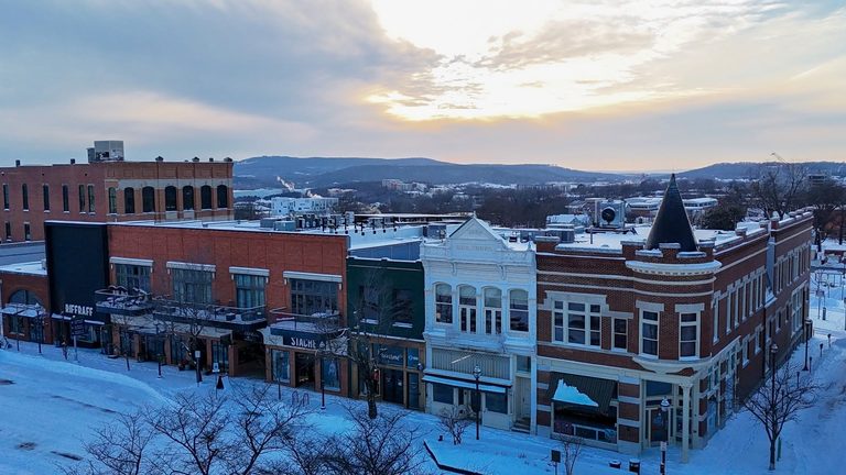
Arkansas may not be the first state to feel a winter dusting, but families and outdoor enthusiasts still want to know when to expect the season’s inaugural snowfall. Using more than 70 years of National Oceanic and Atmospheric Administration (NOAA) records, the Get the Facts Data Team has pinpointed average dates for the first measurable snow in two key regions of the Natural State.
Average first snowfall dates
In Fayetteville, the average first measurable snowfall falls on December 23. This figure comes from 70 seasons of data collected at Drake Field, the region’s long‑standing weather observation site. Residents of the River Valley should plan for a slightly later start: the average first measurable snow arrives on January 11, based on 80 seasons of records from Ratcliff.
Both dates reflect the point at which at least 0.1 inch of snow is recorded on the ground. Trace amounts of snow may have fallen earlier in some years, but those light flurries were not counted in the official record.
How Arkansas compares nationally
Across the United States, the timing of the first snow varies dramatically. The most elevated peaks of the Rocky Mountains can see snow as early as August or September, according to the Farmers’ Almanac. The Northern Rockies, Upper Midwest, and northern New England typically experience their first snow in October. The Great Lakes region, the Northeast, and higher elevations of the Appalachians usually see snow in November.
For the Central Plains, Mid‑Atlantic, and Northwest, the first measurable snow generally arrives in late November through December. The Deep South, Gulf Coast, and many southeastern and southwestern states often wait until December or January, and some years may pass without any snow at all.
What the data means for Arkansans
Understanding these averages helps families plan holiday travel, schools consider weather‑related closures, and local businesses prepare for seasonal changes. While the average dates provide a useful benchmark, each winter can differ. A particularly cold front could bring an early dusting, while a milder season might delay snow well beyond the typical dates.
For those curious about their own hometown’s snowfall history, the interactive tool created by the Get the Facts Data Team lets users input a location and see the earliest recorded snowfall in their lifetime, as well as the long‑term average. The tool draws directly from NOAA’s extensive snowfall database, ensuring the information is both accurate and up‑to‑date.
Looking ahead
As climate patterns continue to evolve, tracking snowfall trends remains important for agriculture, water resources, and community preparedness. While Arkansas is not a snow‑heavy state, the data underscores that even modest winter weather can have a noticeable impact on daily life.
Residents can stay informed by checking local forecasts and the interactive snowfall tool, especially as the season progresses toward the typical December‑January window.
Original reporting: 40/29 / KHBS (NW Arkansas) — read the source article.