Sulphur Springs Trail is one of the longer paved paths in Grand Prairie, and most residents who pass the trailhead on Belt Line Road have never actually walked it end to end.
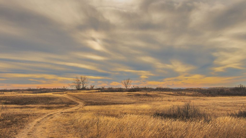
The trail runs roughly five miles along Sulphur Springs Creek, connecting the southern edge of the city’s park system through a corridor that shifts character as you go. Near the northern entry points off Camp Wisdom Road, it’s wide and flat, shaded enough in the morning that you can get a solid hour in before the Texas heat makes the whole enterprise feel punitive. Push further south and the trail thins out, the creek comes closer, and you start to notice things — great blue herons standing perfectly still in the shallows, red-tailed hawks overhead, the odd flash of a painted bunting if you’re moving quietly and paying attention.
What separates Sulphur Springs from the more polished trail corridors in the DFW area is that it doesn’t feel engineered for spectacle. There’s no dramatic overlook, no Instagram-ready bridge. It’s a functional greenway built through a working-class stretch of Grand Prairie, and it has the honest, slightly rough-around-the-edges quality that goes with that. The pavement has patches in spots. Some sections flood after heavy rain and take a day or two to drain fully. The trailhead parking is modest — don’t expect a lot with thirty spaces and a coffee kiosk.
What it does offer is genuine quiet for a trail that runs through a dense urban area. The creek buffer absorbs a surprising amount of road noise. On weekday mornings it’s mostly dog walkers and the occasional cyclist commuting south. Weekend afternoons bring out families, and the paved surface makes it accessible for strollers and casual riders who’d have trouble on a gravel path.
A few practical notes if you’re planning to go: bring water. There are no fountains along the route, and even in October this part of Texas will remind you of that oversight. Good shoes matter more than people think — the pavement is firm but uneven in a few low spots near creek crossings. The trail is officially open from dawn to dusk, and the city does maintain lighting at key access points, but the middle sections are dark and remote enough that after-dark walking isn’t a great idea unless you know exactly where you are.
Cost is nothing, obviously. Parking is free at the main access points. The city’s parks department maintains the corridor under the same umbrella as the larger trail network, so it shows up on the Grand Prairie trail map, though the signage on the ground is minimal enough that first-timers sometimes overshoot the entry points.
For people who live on the southern end of Grand Prairie and want a walk that doesn’t require driving to a destination park, this trail is genuinely useful. It’s not glamorous. But there’s a decent argument that a five-mile greenway through creek bottom habitat, free and open every day, is exactly the kind of civic infrastructure a city ought to build — and the kind most people overlook until they finally try it.