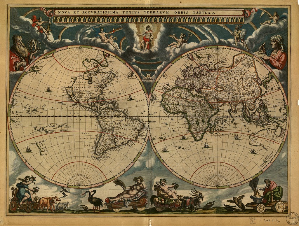
There is a room in Washington D.C. that holds more than 5.5 million maps, charts, atlases, globes, and navigational tools — and most visitors to the Capitol Hill neighborhood walk right past it without ever knowing it exists. The Library of Congress Geography and Map Division is, without question, one of the most remarkable and underappreciated destinations in a city already overflowing with world-class institutions, and a visit here will fundamentally change the way you think about history, exploration, and the human desire to make sense of the world.
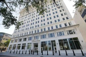
Tucked within the James Madison Memorial Building — the Library of Congress’s largest and most modern facility, just a short walk from the Capitol itself — the Geography and Map Division houses a collection so vast and so significant that it genuinely defies easy description. We are talking about a 1507 Waldseemüller map, widely considered the first document to use the name “America.” We are talking about Civil War battlefield surveys, hand-drawn by Union and Confederate cartographers under fire. We are talking about ancient portolan charts used by Mediterranean sailors centuries before GPS, rendered in gorgeous, almost painterly detail on vellum. The breadth of what is preserved here spans continents, centuries, and civilizations.
Visiting is more straightforward than you might expect. The reading room is open to the public for research purposes, and you do not need to be a scholar or academic to walk in and make an appointment to view materials. The staff — and this is worth emphasizing — are genuinely enthusiastic about what they do. Ask a question and prepare yourself for a fifteen-minute conversation that leaves you rethinking everything you assumed about colonial-era North America or 18th-century Pacific exploration. That kind of human engagement is rare in any institution, and it makes the experience feel personal rather than formal.
The Madison Building itself is worth your time even beyond the Map Division. The cafeteria on the sixth floor offers a panoramic view of the Capitol dome that rivals anything you will find at a rooftop bar in the city, and it costs nothing more than whatever you order for lunch. It is the kind of quiet, insider pleasure that Washington rewards those who look slightly beyond the obvious.
Plan to spend at least two hours here, and if you can, request to see something specific in advance — a map of your hometown from a century ago, or a chart of a coastline that matters to you. That personal connection transforms the visit from interesting to genuinely moving. The Geography and Map Division is not a tourist attraction in the conventional sense. It is something better: a place where curiosity is taken seriously, where the past is literally spread out before you, and where the story of how human beings have tried to understand their world is told in ink, parchment, and extraordinary care.
Capitol Hill is easy to reach by Metro — the Capitol South station on the Blue, Orange, and Silver lines drops you within a five-minute walk. Admission to the Library of Congress is free, as it should be for a place that belongs, in every meaningful sense, to the public it serves.