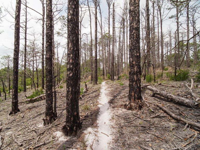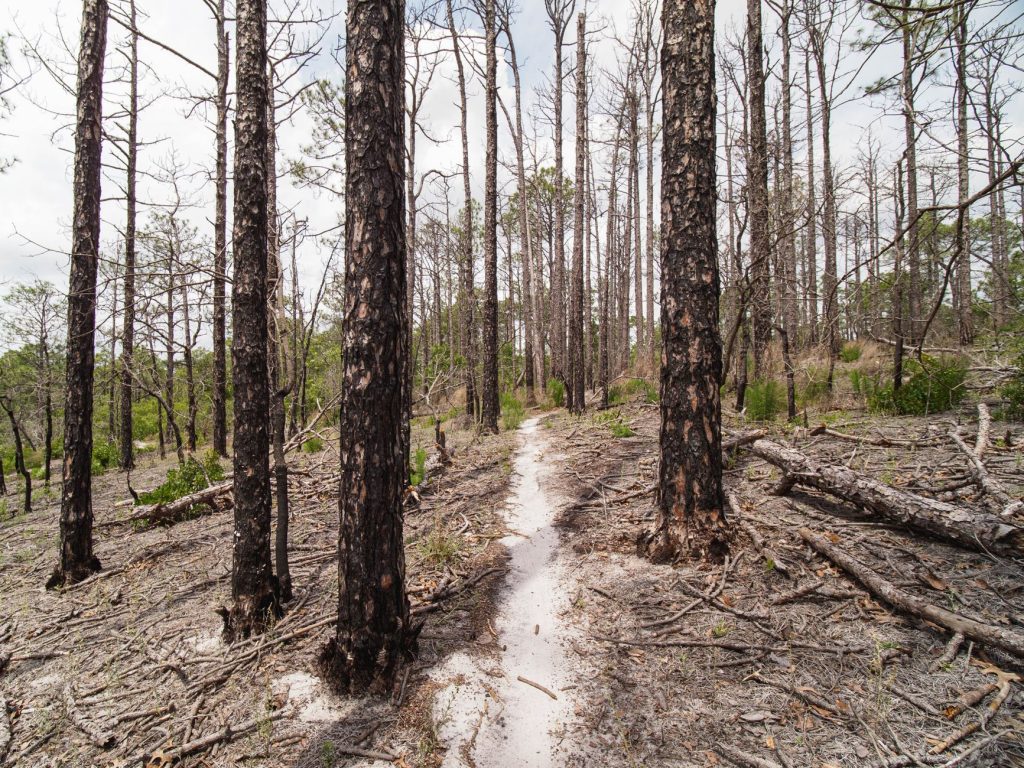
Rocky Point Natural Resources Management Area covers more than 5,000 acres of Suffolk County pine barrens, and if you’ve never spent a full Saturday morning walking its trail network, you’ve been leaving something on the table.
The trailhead most people use sits off Rocky Point Road, just south of the village itself. You’ll find a small gravel lot, a kiosk with a trail map, and almost no one else — at least if you get there before 9 a.m. on a weekday. Weekends draw mountain bikers in serious numbers, particularly along the yellow-blazed connector trails that cut through the scrub oak. If you’re on foot, that’s worth knowing: the multi-use nature of the trails means you’ll want to stay alert on the narrower sections. It’s not a problem, just a rhythm you adjust to after the first mile.
The terrain is flat to gently rolling, which makes the place accessible to most fitness levels, but don’t let that fool you into underestimating the distance. The main loop systems run anywhere from three to eight miles depending on how you string them together. Carry water and a printed map or a downloaded offline trail — cell coverage drops out quickly once you’re a half mile in. The Suffolk County GIS trail map is reliable; the AllTrails listing is a decent backup.
What actually makes the place worth writing about is the landscape itself. Pine barrens ecosystems are genuinely rare — this stretch of Long Island sits within the Long Island Central Pine Barrens, one of the last significant coastal plain pine barrens in the country. That sounds like a geography lecture, but it shows up in ways you notice: the pitch pines growing low and twisted, the lichen-covered sand underfoot, the smell of warm resin on a dry afternoon in late September. Blueberry patches appear in the understory around midsummer, and if you know what you’re looking for, wild turkey and white-tailed deer are common sightings, particularly early or late in the day.
Fall is the best season to come. October brings a low amber light through the pines that’s hard to replicate anywhere else on Long Island, and the temperatures are finally cooperative after a humid summer. Spring works too — the trail surfaces dry out fast after rain, and the scrub oak leafing out against sand gives the whole landscape a quietly dramatic quality.
Mountain bikers tend to favor the red and yellow loop systems on the eastern half of the management area. If you’re hiking and want some separation, the white-blazed trails running north toward the power line cuts give you more solitude and open sky. The power line corridors sound unglamorous, but they create unexpected breaks in the canopy that wildlife seems to like — a good reason to slow down and pay attention.
There’s no admission fee. No concessions, no rentals, no ranger station with regular hours. What you get is a genuinely large and largely quiet piece of Long Island’s most distinctive natural landscape, sitting right off a county road that most people drive past on the way to somewhere else. Bring sturdy shoes, leave the earbuds at home for at least the first mile, and give yourself more time than you think you need. The trails have a way of expanding once you’re in them.