Forecasters are tracking a fresh storm system that began moving in from the west this morning. While clouds are already covering much of the state, measurable rain has not yet arrived.
Today’s outlook
Early‑morning temperatures have slipped back into the 30s and 40s, so a coat or jacket is advisable for anyone heading outdoors. By mid‑afternoon, highs are expected to climb into the 50s and 60s – a little cooler than the previous days but still above the typical mid‑November average for the region.
Scattered showers are likely to develop later this afternoon, with the most significant chances arriving after sunset. Areas south and west of Albuquerque are expected to see the greatest coverage.
Saturday and Sunday
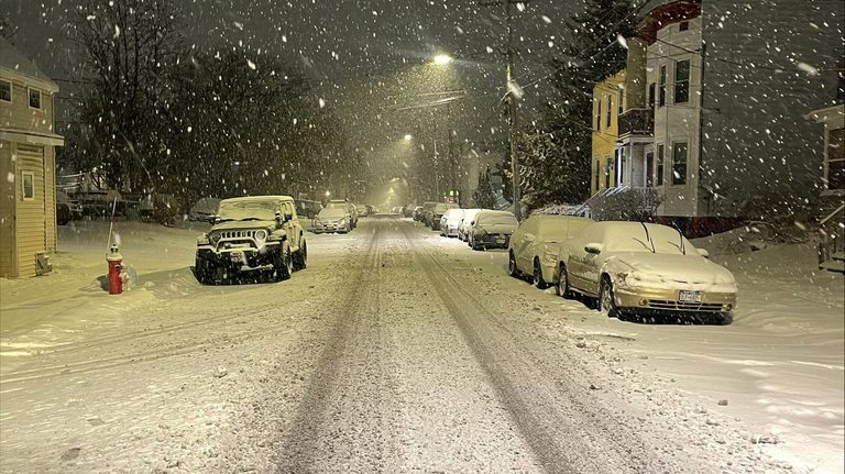
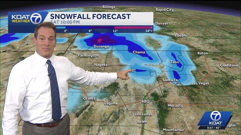
Saturday will continue to see rain and mountain snow, primarily affecting the northern half of the state and especially the areas north of Albuquerque. The storm is not expected to clear until late Saturday night. In its wake, several inches of snow could accumulate on the higher elevations of northern New Mexico, with even deeper snow possible on the mountains of far‑southern Colorado.
Sunday should bring a drier and quieter weekend, though temperatures will be cooler, with most locations seeing highs only in the 50s.
Looking ahead to next week
Skies will remain active into the coming week. Monday appears dry, but another system with a chance of rain and mountain snow is forecast to move through Tuesday afternoon and Wednesday morning. Western and northern New Mexico, as well as the Four‑Corners area, are the most likely to receive precipitation from this system.
Thursday should offer a brief break before a more powerful and colder storm system develops later in the weekend. While the exact track of that later storm remains uncertain—still more than a week away—forecasters warn that significant snow could fall in the higher terrain if the system takes a favorable path.
What residents can do
Drivers traveling in mountainous areas should stay alert for rapidly changing conditions, especially Saturday night and early Sunday morning. Keep an eye on local road reports and be prepared for possible chain requirements on higher passes.
Those planning outdoor activities this weekend should consider the cooler temperatures and the chance of rain or snow, particularly in the northern parts of the state.
Overall, the upcoming storm provides a reminder that New Mexico’s weather can shift quickly in the fall, delivering both rain and snow within a short span. Residents are encouraged to stay informed through local forecasts and to take appropriate precautions as conditions evolve.
Original reporting: KOAT Albuquerque — read the source article.