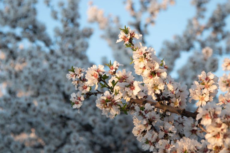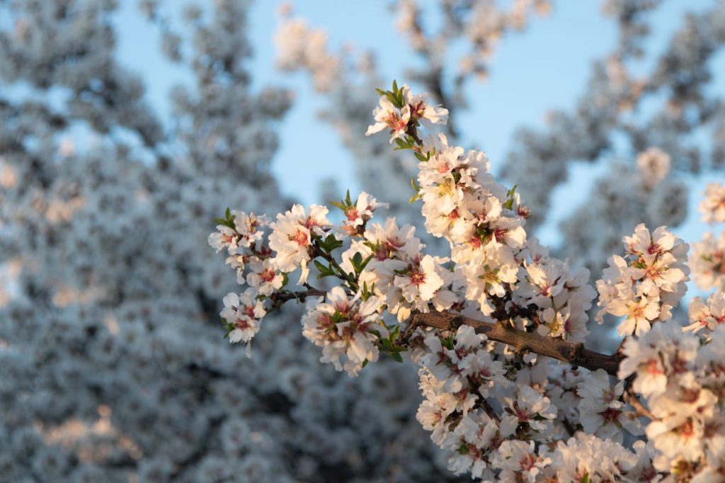
Every February, roughly 60 miles of farm roads between Fresno and Sanger turn into something that feels almost accidental — miles of pink and white bloom from almond, peach, plum, and nectarine orchards lining the county’s eastern flats. The Fresno County Blossom Trail has existed since the 1950s, when local agriculture promoters mapped it out for tourism. The route hasn’t changed much, and neither has the experience.
The official map, downloadable from the Fresno County Farm Bureau website or available as a physical copy from the bureau’s office on Fulton, marks a 62-mile loop that starts and ends near downtown Fresno. You drive it yourself, in your own car, at your own pace. There are no entry fees, no parking structures, and no guides. That’s both the best and worst thing about it: it rewards people who actually read the map and know that the density of bloom tends to be heaviest on Orchard and Skaggs roads east of Clovis, in the stretch between Temperance and Fowler avenues.
Peak bloom is the whole variable. It shifts year to year depending on winter temperatures — sometimes it hits the first week of February, sometimes the third. The Farm Bureau usually posts weekly updates on their site and social media during bloom season, and those are worth checking before you make the drive. A good bloom year looks overwhelming in the right way: trees pressed against each other on both sides of a two-lane road, blossoms thick enough that you can smell them through the window without stopping. A dry or warm winter can make the whole thing feel thin by comparison.
To get the most out of it, go on a weekday morning. Weekend afternoons bring slow-moving cars and families who stop in the middle of the lane for photos, which is understandable but annoying if you’re trying to cover any ground. Mornings also give you better light and fewer crowds at the farm stands. Several farms along the route — including a few on Skaggs and Manning avenues — set out small tables selling local citrus, dried fruit, almonds, and jams. Cash is safer than assuming card readers work, though some stands do have them now. Budget five to ten dollars if you want to grab something, more if you’re stocking up on citrus for the week.
The drive itself, if you do the full 62-mile loop without detours, takes about two to two and a half hours at a relaxed pace. Shorter versions exist — if you’re coming from northeast Fresno, you can join the route near Clovis and do just the eastern segment in under an hour. The Farm Bureau map has numbered stops with brief notes, and it’s worth keeping a copy on the seat rather than relying solely on GPS, since some of the smaller farm roads don’t pull up cleanly on navigation apps.
There’s nothing elaborate here. No visitor center, no admission booth, no ticketing. It’s agricultural land that happens to be spectacular for about three weeks a year. The best spots are where the rows of different tree varieties bloom slightly offset from one another, staggering the color in a way that makes the roadside look almost layered. If you’ve never done it and you live within 90 minutes of Fresno, it’s worth planning around just once. Check the bloom reports, pick a Tuesday morning, and don’t forget the map.