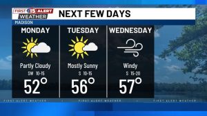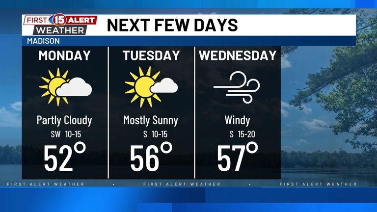
Residents of southern Wisconsin can look forward to a pleasant spell of milder weather as the weekend draws to a close. After a chilly start on Monday morning, southwest winds will usher in warmer air, lifting daytime temperatures into the low‑to‑mid 50s. By Tuesday and Wednesday, many communities are expected to see highs in the mid‑to‑upper 50s, providing an ideal backdrop for outdoor activities.
What to Expect Monday
Monday will begin with a cool morning, but sunshine and a gentle southerly flow will quickly raise temperatures. Expect daytime highs to reach the low‑to‑mid 50s across the region, with clear skies and light breezes. Evening temperatures will dip again, so a light jacket may still be needed after sunset.
Mid‑Week Warm‑up
Tuesday and Wednesday will bring the most comfortable temperatures of the week. Forecasts call for daytime highs ranging from the mid‑50s to the upper 50s, depending on location. The sky should remain mostly clear, and humidity will stay low, making it a great time for family outings, park visits, or a leisurely walk with the dog.
Potential Light Showers Later in the Week
While the first half of the week looks dry, the weather pattern may shift Wednesday night into Thursday as the first of two approaching systems arrives. Light showers are possible, though any rainfall is expected to be limited and many communities could stay completely dry.
Chance of More Significant Rain Friday‑Saturday
A stronger system is forecast to follow Friday into Saturday, bringing a higher probability of widespread rain and a few isolated thunderstorms. The exact track remains uncertain, and recent model runs have nudged the heaviest precipitation farther north. Nonetheless, residents should be prepared for a wetter weekend, especially if they have outdoor plans.
Temperatures on the Rise
With the approaching systems, temperatures will continue to climb. By the end of the week, highs could reach 60 °F or higher in many areas, marking a noticeable warm‑up as November progresses.
No Significant Winter Storm Threat
At this time, there is no indication of a major winter storm affecting southern Wisconsin. The forecast calls for a series of mild November afternoons before rain becomes a more prominent feature of the weather later next weekend.
For up‑to‑date information, residents are encouraged to download the WMTV15 News app or the WMTV15 First Alert weather app, which provide real‑time alerts and detailed forecasts.
Original reporting: NBC15 WMTV (Gray) – local — read the source article.