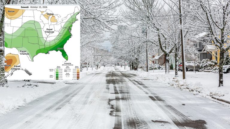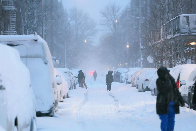
Residents of Washington, D.C., Philadelphia and New York City should temper expectations for a snowy start to the season. The latest forecasts from the National Weather Service indicate the system will mainly bring rain, strong winds and a noticeable drop in temperature.
Storm track and timing
An area of low pressure is set to form over the Ohio Valley late Wednesday and move toward the Mid‑Atlantic and Northeast by late Thursday. As the system advances, widespread rain is expected across the East, while accumulating snow will be confined to higher elevations in New England and the interior Northeast.
Impact on the I‑95 corridor
Even if a few snowflakes reach the coast, warm surface temperatures and rain will make it difficult for snow to stick along the I‑95 corridor. Experts say the combination of rain and lack of cold air will keep snow totals low for most low‑lying areas.
Model updates
Since Monday, the storm has trended a bit milder. The Weather Prediction Center reports that newer models favor a slightly faster‑moving system with less precipitation, reducing the threat of snow at lower elevations. Mountain snow remains a concern.
Potential variations
Forecasters note some uncertainty. If a second low pressure area develops farther south and offshore, the coast could see stronger wind gusts and a brief shift from rain to snow as the storm pulls away. Conversely, if the storm tracks farther out to sea, overall rain and wind could lessen.
Local forecasts
New York City: Rain is favored for the city, northeastern New Jersey and southern Connecticut. Wet snow may mix inland at higher elevations Friday night into Saturday, though confidence is low.
Washington, D.C.: Rain is expected east of the mountains in Maryland and northern Virginia. Westward areas toward the Alleghenies could see accumulating snow starting Thursday night and continuing Friday.
Philadelphia and South Jersey: Heavy rain, gusty winds and possible tidal flooding are being watched for Thursday night through Friday night in Atlantic and Cape May counties.
Temperature outlook
Even without snow, the storm will feel wintry. FOX Weather projects afternoon temperatures in the 30s for over 110 million people across the Northeast and nearby regions. Highs may stay in the 30s and 40s, with overnight lows dipping into the 20s.
After the storm
By Saturday, the system should move toward Canada. Cold winds may still generate lingering snow showers from Maine down through the Appalachians, affecting upstate New York and central Pennsylvania.
Original reporting: Arlington County | FOX 5 DC — read the source article.