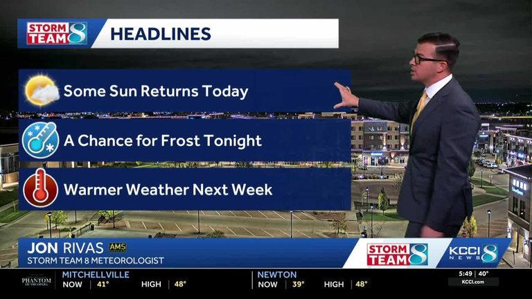
After a stretch of rain, Iowa is set for a dry weekend under mostly cloudy skies. Residents can expect cooler temperatures than originally forecast, with daytime highs ranging from the mid‑40s on Friday to the low‑50s on Saturday.
Friday
Today the high will reach the mid‑40s Fahrenheit, with light north winds of 5 to 10 mph. A few sun‑breaks may appear later in the day, but cloud cover is expected to linger into Saturday morning. Overnight temperatures will fall into the mid‑30s, and isolated spots could dip into the low 30s, creating a chance for frost. Gardeners should cover any tender plants that remain outdoors.
Saturday
Saturday morning will continue to be cloudy, especially across the northern part of the state. As the day progresses, some areas may clear, allowing temperatures to climb near 50 °F. Locations that enjoy more sunshine could see highs in the mid‑50s. Winds will shift to the southwest at 10 to 15 mph, bringing a slightly breezier feel.
Sunday and beyond
Sunshine is expected for most of Sunday, and the trend continues into the early part of next week. Temperatures will begin to rise again on Monday, moving back toward seasonal norms. By the second half of next week, the forecast returns to typical spring temperatures for Iowa.
Stay informed
For real‑time updates, Iowa residents can monitor KCCI’s skycam page, which provides aerial views from more than 25 sites across the state. The skycams are a useful tool for checking local conditions, especially for those who need to protect crops, livestock, or outdoor projects.
Overall, the weekend offers a welcome break from rain, but the cooler air and potential frost mean that anyone with outdoor plants or early‑season gardening should take precautions. Keep an eye on local forecasts and be prepared for changing conditions as the week progresses.
Original reporting: KCCI Des Moines — read the source article.