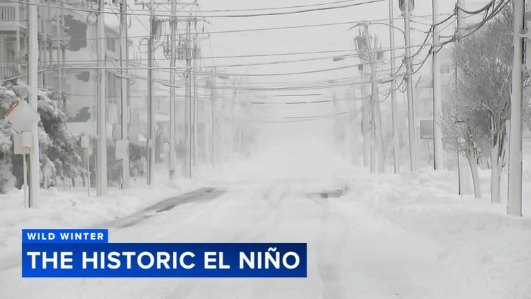
Philadelphia residents should prepare for a very different winter than the one that left more than 30 inches of snow on the ground last season. Meteorologists say the La Niña pattern that dominated last year has shifted to a historic El Niño, with Pacific sea‑surface temperatures about 10 °F above average – the strongest on record in the past 76 years.
What the El Niño means for local weather
According to AccuWeather senior meteorologist Paul Pastelok, the strong El Niño will keep the polar jet stream farther north, limiting the influx of Arctic air. At the same time, an active subtropical jet will channel moisture from the Gulf of Mexico across the southern United States and into the Mid‑Atlantic. The result is a winter that is likely to be warmer than normal with above‑average precipitation.
For the Delaware Valley, that translates into a higher chance of heavy rain events and flooding, especially along the Schuylkill and Delaware rivers. Residents living near waterways should keep sandbags and flood‑ready supplies on hand, even as they may find they need fewer heavy coats and shovels.
Coastal concerns
The Atlantic shoreline has already shown signs of stress this November, with multiple storms eroding beaches and exposing fragile dune systems. North Wildwood Mayor Salvatore Zampirri and other shore officials are in talks with the Army Corps of Engineers and the Pennsylvania Department of Environmental Protection about extending dunes, reinforcing bulkheads, and pursuing beach‑replenishment projects.
While the active storm track may keep some storms offshore, the combination of higher sea levels and a weakened dune line makes the coast vulnerable to further erosion and occasional storm surge. Local municipalities are urging homeowners to consider flood‑mitigation measures and to stay informed about beach‑restoration plans.
Snow prospects inland
Winter snow lovers will need patience. Past strong El Niños, such as those of 1982‑83 and 2015‑16, produced only occasional snow events despite overall mild temperatures. Pastelok notes that the “magic date” for any meaningful snowfall this season appears to be around January 20, when the pattern may finally align limited cold air with a storm system. Even then, most areas can expect at most an inch of snow, with rain more likely.
Historically, strong El Niño winters have delivered nearly a foot of liquid precipitation, so the region should anticipate a wetter season overall. The forecast does not rule out a single “blockbuster” snowstorm, but the odds are lower than in a typical cold‑season year.
What families can do now
Parents and community leaders are encouraged to review emergency‑preparedness plans, especially for flood scenarios. Keeping an eye on local alerts from the National Weather Service and municipal emergency management offices will help families respond quickly to heavy‑rain warnings.
For those who enjoy winter recreation, the advice is simple: stay flexible, monitor updates, and be ready to swap a snow shovel for an umbrella when the weather calls for it.
Looking ahead
The El Niño pattern is expected to persist through the spring, potentially influencing summer heat and humidity levels as well. Officials will continue to monitor the evolving situation and provide guidance to protect both inland neighborhoods and the vulnerable coastline.
Original reporting: Allentown News – 6abc Philadelphia — read the source article.