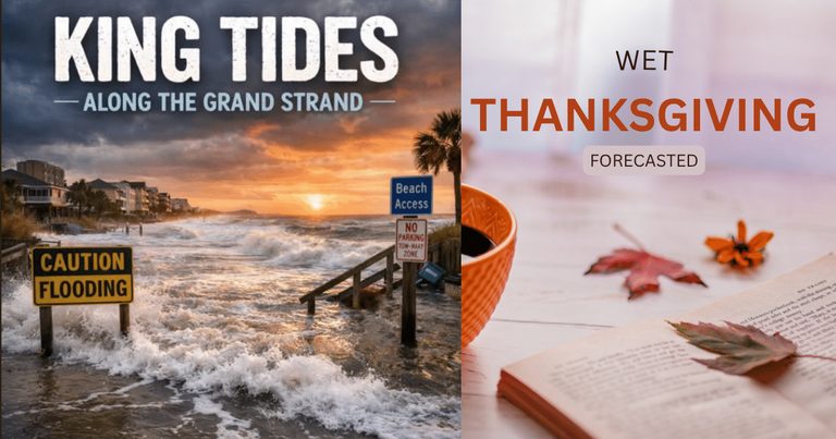
Residents of Horry County should brace for a wet Thanksgiving week as a coastal low‑pressure system is forecast to deliver heavy rain and gusty winds on Saturday, just before the region’s final king‑tide window of the year (Nov. 24‑27). The timing could compound flooding risks while thousands of families travel the Grand Strand.
According to Fox Weather, the low is expected to form off Florida’s Atlantic coast on Friday and could develop into a subtropical or tropical system, potentially named Kyle. The outlet placed the coast from northeast Florida to South Carolina at a Level 2 of 4 flash‑flood risk for Saturday. Local forecasters anticipate about an inch of rain for most of the Myrtle Beach area, with isolated spots receiving more, and gusts of 30‑40 mph. The system is projected to move north on Sunday, allowing rain to taper off and skies to clear later that day, followed by a cold front on Monday.
Chief Meteorologist Bill Walsh noted that the American computer model pulls the storm closer to the South Carolina coast than the European model, while AccuWeather’s Dan DePodwin warned that wind shear could prevent development, possibly leaving the system to brush the coast before heading out to sea. Senior AccuWeather meteorologist Brett Anderson added that ocean temperatures are borderline for tropical development, though a narrow Gulf Stream band near 80 °F runs offshore.
Even if the system remains unnamed, forecasters agree that rain and onshore wind will fill roadside ditches, push water up swashes, and raise surf against dunes, creating conditions ripe for coastal flooding. Fox Weather expects strong wind, rough surf and coastal flooding to persist into early next week regardless of the storm’s classification.
Compounding the rain, the South Carolina Department of Environmental Services (SCDES) lists Nov. 24‑27 as the final king‑tide window of 2026. Weather.com quoted physical oceanographer Greg Dusek, who said the highest tides that week should resemble those of October, with NOAA’s high‑tide flooding outlook calling for at least minor tidal flooding from Florida to Maine. US Harbors reports the average high‑tide range at Myrtle Beach is about 5.5 feet, while king tides can reach 7 feet or more, and minor coastal flooding begins at roughly 7 feet.
The overlap of heavy rain and king tides is significant because the American Automobile Association (AAA) predicts a surge in holiday travel. AAA, via Fox Weather, estimates about 81.5 million Americans will travel at least 50 miles during Thanksgiving, and roughly 72.9 million people are expected to travel by car, the most popular mode. The travel period runs from Tuesday, Nov. 24, through Monday, Nov. 30, coinciding exactly with the king‑tide window.
Historical precedent underscores the risk. The National Weather Service office in Wilmington documented a slow‑moving coastal storm on Oct. 10‑13, 2025, which struck during king tides, producing tropical‑storm‑force gusts and both rainfall and tidal flooding across northeast South Carolina. North Myrtle Beach issued a king‑tide alert that month.
What’s next: The National Weather Service will release more precise tide forecasts early next week. Residents are urged to monitor local alerts from the NWS Wilmington office and the City of North Myrtle Beach, keep sandbags and pumps ready, and plan travel routes that avoid low‑lying areas prone to flooding.
Sources: myrtlebeachnews.com