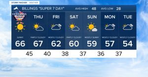
Today is likely to be the last mostly dry day this week for Syracuse and the surrounding Central New York area. Overnight and into Thursday, scattered rain showers are expected to develop, eventually giving way to snow as temperatures drop.
Rain to Snow Transition
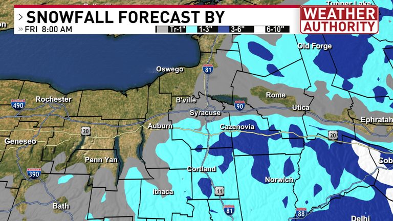
Forecasters show that the changeover to snow will initially affect the highest elevations of the Tug Hill, Adirondacks, and Catskills. The bulk of precipitation will remain rain at lower elevations during Thursday afternoon. After sunset Thursday night, falling temperatures will allow the snow line to move deeper into the central New York hills.
Snow Reaches Syracuse Friday Morning
By early Friday morning, snow showers are projected to spread to lower elevations, including Syracuse and the Thruway corridor. While total snowfall for the city is not expected to be large, colder surfaces should become at least partially snow‑covered, creating a distinctly wintry appearance.
Higher elevations may receive a few additional inches, but daytime warming is likely to cause significant melting, limiting accumulation on the ground.
Weekend Outlook
Lingering lake‑effect rain and snow showers could continue through the weekend, keeping the weather unsettled. Residents should stay prepared for changing conditions, especially when traveling on local roads and highways.
For the most up‑to‑date forecast and live local radar, click here.
Original reporting: CNY Central WSTM (Sinclair) – local — read the source article.