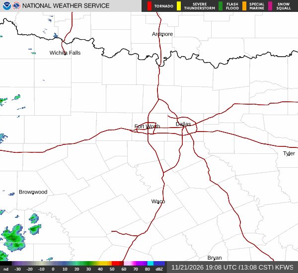
Denison residents can expect a changeable Saturday weather pattern. As of 1 p.m. local time, the sky is overcast and the temperature reads 70°F, feeling like 65°F with humidity at 59%. Winds are coming from the south at 15 mph.
Afternoon to Evening Outlook
The National Weather Service forecasts that the cloud cover will lift later this afternoon, allowing sunshine to break through by early evening. High temperatures are projected to reach near 74°F, essentially matching yesterday’s peak. The chance of rain remains low, staying at or below 14% through the evening hours.
As night falls, skies will become partly cloudy. A slight chance of rain showers may develop after 3 a.m., though any precipitation is expected to be minimal. Overnight lows will settle around 58°F, with a modest rise to about 60°F possible as the night progresses.
Tomorrow’s Cooler Shift
Looking ahead to Sunday, a significant cooling trend is expected. Forecasts show daytime highs dropping to near 59°F, roughly 15°F cooler than today’s readings. The sky will be partly sunny, providing a clearer view of the cooler air. Afternoon temperatures are likely to dip further to around 55°F.
Wind direction will shift to the northwest, with speeds ranging from 5 to 15 mph and gusts that could reach up to 30 mph, adding a brisk feel to the day.
What This Means for Residents
Denison’s Saturday weather offers a comfortable start to the weekend with mild temperatures and low rain risk, followed by a pleasant evening of clearing skies. The cooler conditions expected tomorrow suggest a good day for outdoor activities that benefit from cooler air, such as walking, jogging, or enjoying local parks.
Residents planning to travel or attend events should consider the wind shift and gust potential for Sunday, especially if outdoor setups are involved. Dressing in layers will help accommodate the temperature swing from a mild Saturday to a cooler Sunday.
Original reporting: DenisonWeekly.news — read the source article.