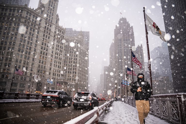
Chicago residents can expect a touch of winter late Thursday into Friday, but the forecast suggests it will be more a flurry than a true snowfall. The National Weather Service indicates that precipitation will move into the area Thursday afternoon, turning to snow as temperatures fall that evening.
Temperatures and Timing
Temperatures are expected to drop to a low of around 28°F Thursday night, creating conditions for snow to form. However, WGN weather producer Bill Snyder cautions that any accumulation is “not likely.” The storm system will be influenced by lake‑effect dynamics, which typically boost moisture over Lake Michigan.
Lake Effect and Inland Impacts
While the warmth of Lake Michigan may keep most of the precipitation near the shoreline as rain, Snyder notes that any slushy buildup could be more probable farther inland, especially south and east of Interstate 57 near the Kankakee River Valley. Even then, the expected snowfall is less than half an inch.
Friday Outlook
Rain and snow may linger into Friday, with daytime highs near 42°F and a low of about 22°F. The National Weather Service still projects less than half an inch of snow overall.
Weekend Forecast
By the weekend, the skies should clear, offering mostly sunny conditions. Highs are forecast at 46°F on Saturday and 49°F on Sunday.
Historical Context
Chicago’s first snowflakes typically arrive around October 30, with measurable snowfall usually occurring around November 16. The city’s first inch of snow generally does not arrive until early December, around the 2nd.
For residents planning outdoor activities or commutes, the brief snow is unlikely to cause major disruptions, but keeping an eye on updates from local weather services is advisable.
Original reporting: Block Club Chicago — read the source article.