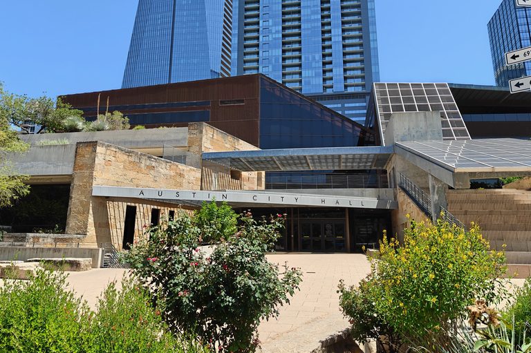
Austin City Council gave final approval on Oct. 8 to rezone a 15‑acre parcel on the west side of Loop 360 for a mixed‑use development that will contain 475 multifamily units, an affordable‑housing component, and ground‑level retail space. The site, currently occupied by office buildings and a parking garage, sits just outside the city limits in the extraterritorial jurisdiction that was added after a 2023 de‑annexation election.
Council rationale
City staff recommended the rezoning, noting that the project aligns with the council’s adopted goals for increasing residential density and expanding affordable housing options in Southwest Austin. Councilmember Paige Ellis said, “We need to have our piece of making sure that housing is being built and smaller footprints are being built for people who want that type of housing in Southwest Austin.”
Opposition from Lost Creek residents
Neighbors in the adjacent Lost Creek community voiced strong concerns about traffic safety. The development’s entrances and the existing Lost Creek access both intersect Loop 360, a stretch that Travis County officials have identified as one of the most crash‑prone sections of the highway. Travis County Commissioner Ann Howard wrote to the council requesting a delay until a traffic impact analysis could be performed. “It is known that this stretch of 360 has more crashes than others and is considered one of the most dangerous sections of 360,” Howard wrote.
City code states a traffic impact analysis is required only when a project is expected to generate 2,000 or more vehicle trips per day. Staff concluded the proposed development falls below that threshold, but Lost Creek resident Scott Smith disputed the estimate, saying the baseline does not reflect real‑world conditions. “We need to really understand peak‑hour congestion, turning movements, U‑turns … this is a very dangerous intersection,” Smith said.
Council vote and safety commitments
The rezoning passed with a single dissenting vote from Councilmember Marc Duchen. While supporting the rezoning, Ellis added a motion urging the city, the Texas Department of Transportation, and other partners to address safety improvements along the affected stretch of Loop 360. The proposed measures include safer routes to schools, revised signal timing, restrictions on illegal U‑turns, crosswalk enhancements, and a new sidewalk along Westbank Drive to serve Westlake High School.
Ellis emphasized, “My first and foremost concern is to make sure that the traffic safety issues are handled. There are a lot of issues to be addressed here, and my main commitment is to make sure that people in Southwest Austin are safe, regardless of whether they live in the city limits or not.”
Environmental considerations
In addition to traffic worries, some residents raised environmental questions, noting that increased vehicle traffic could affect the Eanes Creek Watershed. The council has not yet detailed mitigation steps for the watershed impact.
Next steps
The rezoning approval clears the way for the developer to move forward with a site‑plan review. The city will work with transportation agencies to evaluate the requested safety improvements and determine whether additional traffic studies become necessary as the project progresses.
Stakeholders are encouraged to attend upcoming public hearings on the site‑plan process, where further input on traffic mitigation, environmental protection, and community benefits can be discussed.
Original reporting: Community Impact — Austin — read the source article.